Trip Reports: October - November 2019
24 November - Waterview & Te Auaunga Awa Shared Pathway
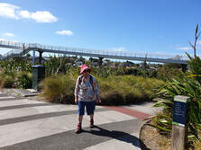
The new Te Auaunga Awa (Oakley Creek) walk/cycleway is a delight to walk and a wonderful addition to Auckland's network of scenic pathways. It is also part of a huge $25 million restoration and flood protection project with landscaping of 50,000 plants.
After our Annual General Meeting and a tempting morning tea, we set off to experience this new walkway. Oakley Creek, Auckland's longest urban stream at 14kms in length, runs from the catchments around Mt Albert (Owairaka), Three Kings (Te Tatua a Riutiuta) and Mt Roskill (Puketepapa). We walked part of it from Phyllis
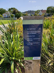
Reserve to Walmsley Park. You can, however, walk right from the Great North Road, Waterview, through to New North Road, Alan Wood Reserve, Underwood and Walmsley Reserves to Sandringham Rd and beyond. There are lots of access points along the way.
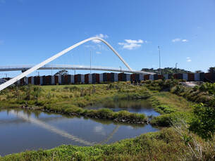
Oakley Creek has been rehabilitated from a neglected culverted waterway through flood-prone land, to a beautiful natural stream environment with extensive native landscaping, rocky banks, ponds and little rapids and the water runs clean and fresh.
Many colourful bridges cross the stream and tributaries and it was exciting to walk over the architecturally stunning arch suspension bridge, Te Whitinga, near the motorway tunnel entrance.
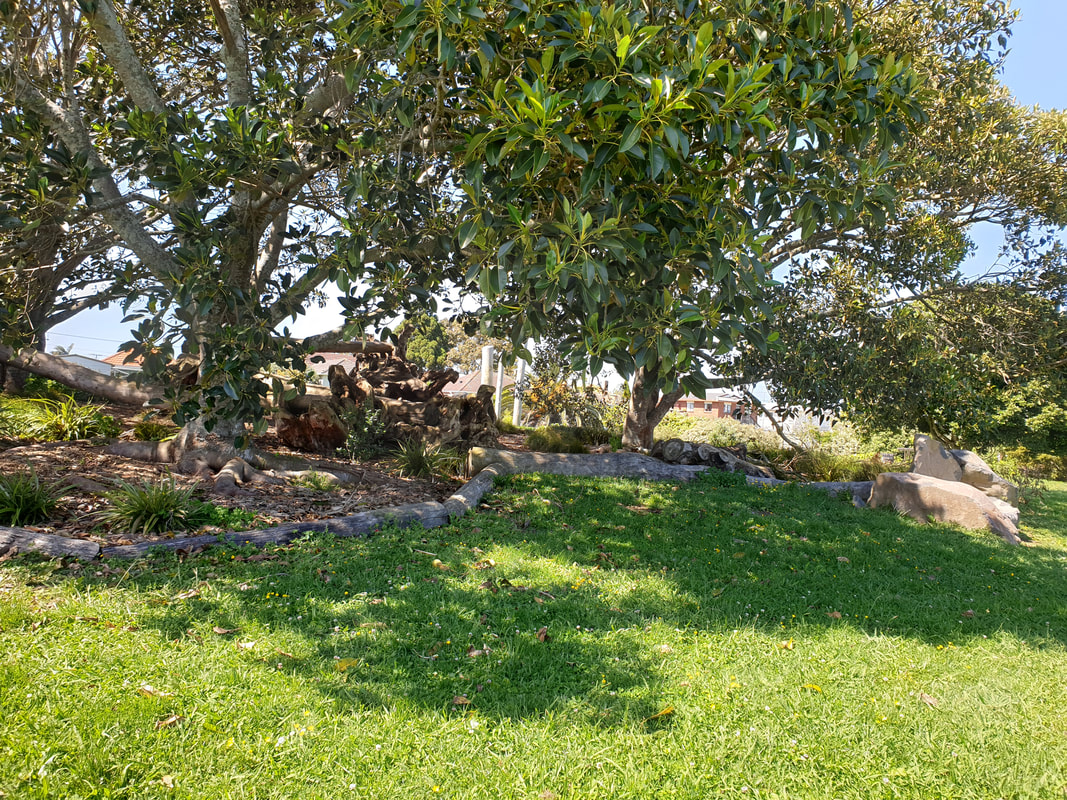
Everyone enjoyed a shady lunch break beneath ancient fig trees at the innovative play area of Underwood Reserve, where traditional Maori playthings have replaced today's plastic and steel. There is also a confidence-building bike track for kids further along the walkway.
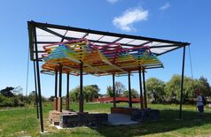
Also interesting was the 2019 addition to Auckland Council's Art Collection, Multicultural Fale, by Tongan artist, Sopolemalana Filipe Tohi. This work features the art of binding with coconut sennit and is a gathering place which is ablaze with colour when lit at night.
Thank you to Margaret Bol for finding this lovely new walk for us and for all her research.
Text & Photos: Sharleen
03 November - Kauaeranga Valley
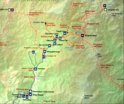
Our first trip to the Kauaeranga Valley in a long while, and this time we were lucky enough to have with us local archaeologist and historian, David Wilton, to show us through the old logging sites in the area.
Also on the way out from Thames to Kauaeranga, David was able to point out places of interest in the valley - the beautiful old mayoral residence, one of the first churches in the area and one of the original Dalmatian farms still presented in its original condition.
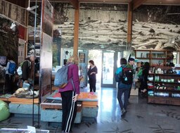 Kauaeranga Visitor Centre
Our first stop was at the Kauaeranga Visitor Centre, a very modern facility which had all sorts of interesting things for us to study, plus a DVD of the logging history of the area.
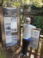
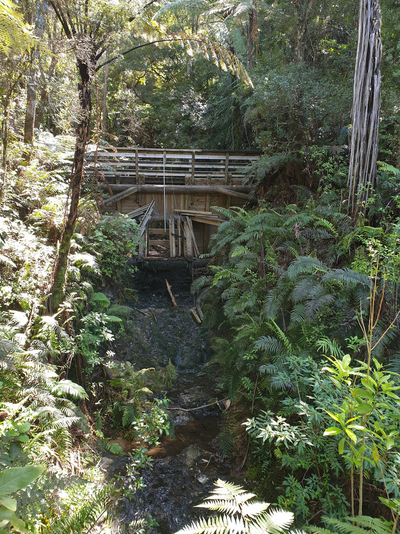
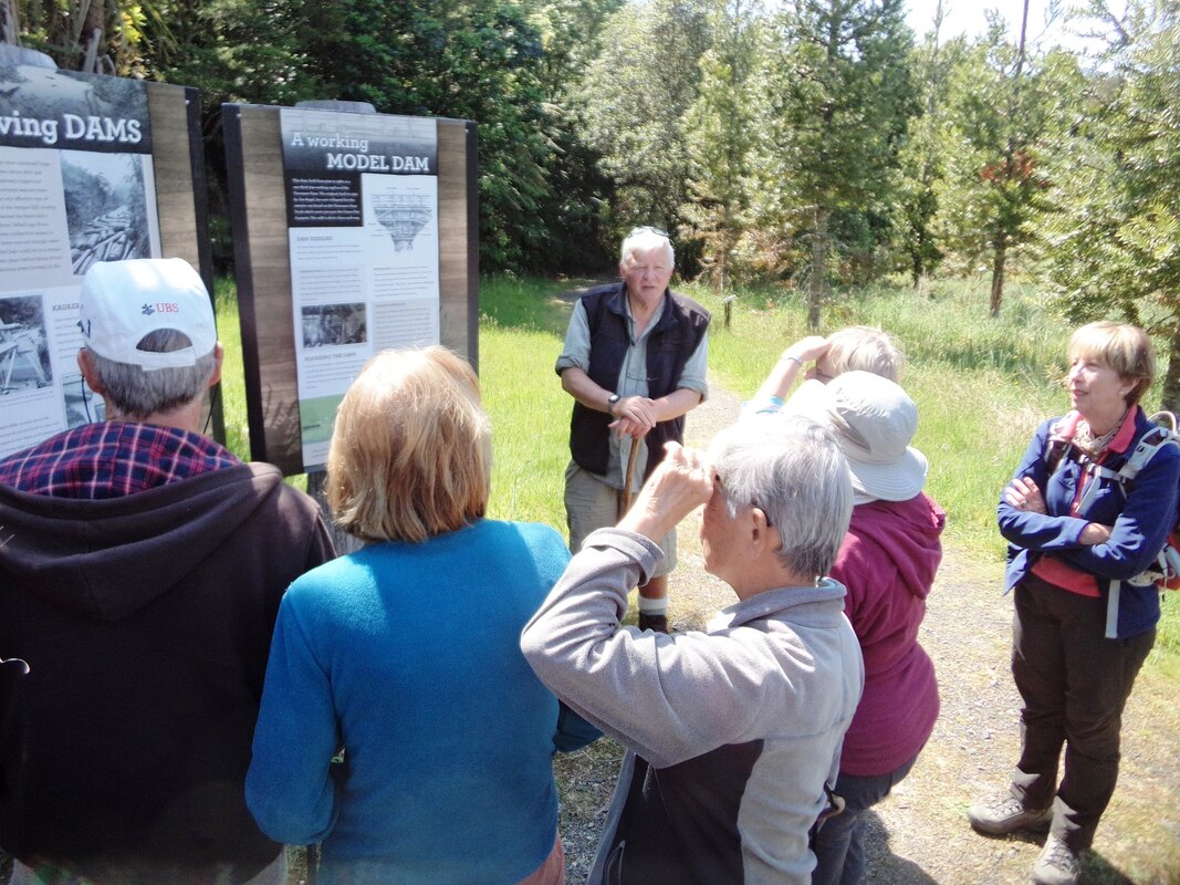
From here our first walk was the Kahikatea Walk and David pointed out an old water race which supplied the valley and surrounding areas with water in the 1880’s, then past a small replica kauri dam constructed by DOC and local volunteers. The plentiful information boards helped us gain a good idea of how the dams would have worked. DOC and their volunteers also planted a kauri grove in 1999 and that seemed to be thriving.
From here our first walk was the Kahikatea Walk and David pointed out an old water race which supplied the valley and surrounding areas with water in the 1880’s, then past a small replica kauri dam constructed by DOC and local volunteers. The plentiful information boards helped us gain a good idea of how the dams would have worked. DOC and their volunteers also planted a kauri grove in 1999 and that seemed to be thriving.
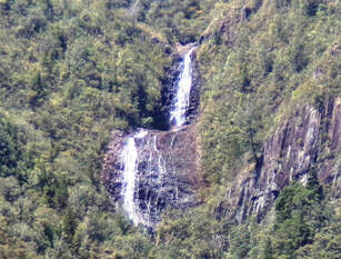 Billygoat Falls
The rest of us travelled to the end of the road and the carpark to do the Billygoat Landing Walk. (wonderful names probably from the 1800s). Because it’s kauri country, they have a very thorough boot spraying system and a well maintained gravel path to a suspension bridge over the river. It’s an older bridge and only one person can go over at a time but quite exciting.
On the way Brian pointed out the Loxsoma cunninghamii fern –
a fern of great scientific importance as it carries properties of almost all other ferns within it. Billygoat Landing gave us spectacular views of waterfalls in the valley and David explained how the loggers had tried various creative methods to get the huge kauri off the mountain sides and down to the river and mill.
Our other walk was the Catleys Track where we could see the canals that had been built and the remnants of the logging days. One huge kauri log was still there for us to see – how those loggers did it with only basic equipment is amazing.
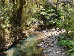
With special thanks to our guide, David Wilton, who also accompanied our leaders on the recce a few weeks earlier to prepare for this trip.
Thanks also to leaders Anne and Don for a wonderful day.
Text: Anne Photos: Sue, Jennifer & Sharleen
With special thanks to our guide, David Wilton, who also accompanied our leaders on the recce a few weeks earlier to prepare for this trip.
Thanks also to leaders Anne and Don for a wonderful day.
Text: Anne Photos: Sue, Jennifer & Sharleen
20 October - Log Race Road to Karekare (via Mercer Bay Loop & Comans Track)
Access in and out of Karekare in anything larger than a car is not easy! There is a very large branch hanging across Karekare Road limiting the height of all vehicles. Having to use the very steep and winding Lone Kauri Road necessitated Joe – a favourite driver – using a smaller than usual bus to pick-up today’s walkers, numbering 27.
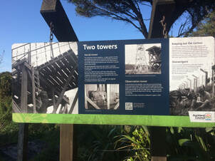
After the requisite toilet stop at Parrs Park, we made our way to the old Piha Radar Station at the end of Log Race Road. It was positioned here for security purposes during World War 2 because of the very high cliffs. Information boards, as well as some evidence of the structures that had existed, provided us with a sense of life at the station in the early 1940’s.
With all boots sprayed at the hygiene station, we set off on the coastal side of the Mercer Bay Loop Track. The name comes from Andrew Mercer, a slater, who was given the area as a Crown Grant in 1866. This was the short straw as far as grants were concerned, as it was steep, remote and windswept. He didn’t last there long. It was subsequently farmed by the Lovetts and the Usshers.
With all boots sprayed at the hygiene station, we set off on the coastal side of the Mercer Bay Loop Track. The name comes from Andrew Mercer, a slater, who was given the area as a Crown Grant in 1866. This was the short straw as far as grants were concerned, as it was steep, remote and windswept. He didn’t last there long. It was subsequently farmed by the Lovetts and the Usshers.
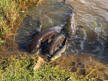
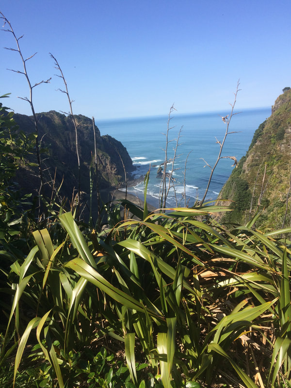
Being a crisp, clear morning, we had amazing views back across Piha and out to the horizon. You could see the waves rolling in as well as hear them from our elevated position. A real sense of being out in nature, a great start to our day.
Along the track, there were places where the cliffs actually reach
a height of 700 feet (213 metres). Several vantage points as well as a viewing platform built at Te Ahua Point offered many photo opportunities.
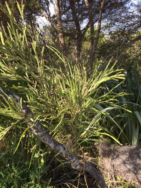
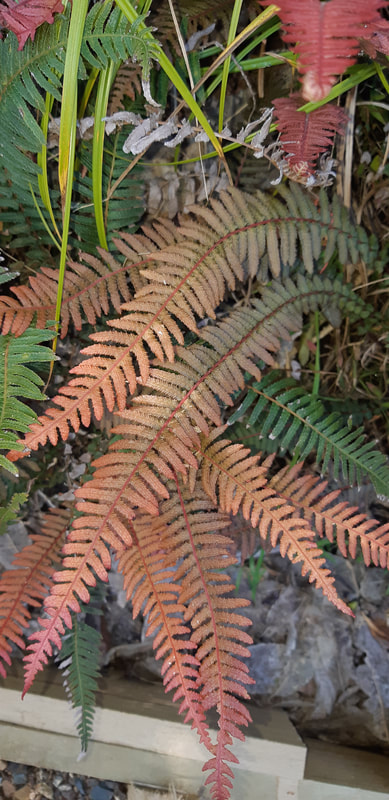
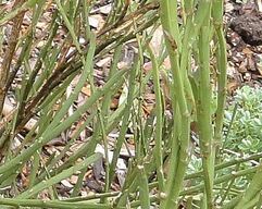
The hills were predominantly covered in large, healthy flax bushes, but it wasn’t long before we also spotted NZ native broom (Carmichaelia australis), as seen on our recent walk on Rotoroa Island. Further along the track we came across Rasp Fern (Doodia australis Blechnaceae) – so named because the fronds are harsh to touch, but also known for its pink to red colours.
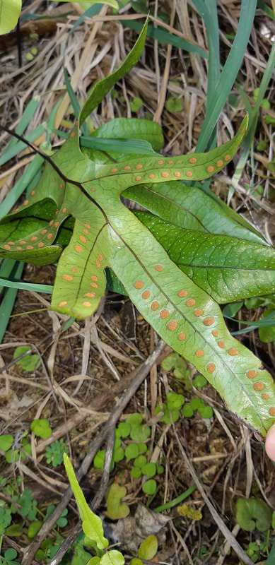
Also spotted, were Hound’s Tongue (Microsorum pustulatum) -
an epiphytic fern native to Australia and New Zealand.
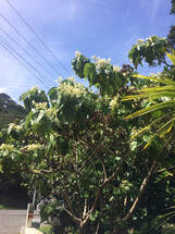 Whau
(Entelea arborescens)
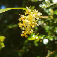
Several Whau (Entelea arborescens) were also conspicuous with their large leaves and flowers. In its natural habitat, for success, this tree depends mainly upon its prodigious seed production, the remarkably long life of the seed, and, after germination, rapid growth. In the forest, Entelea arborescens is essentially a transient, opportunist species.
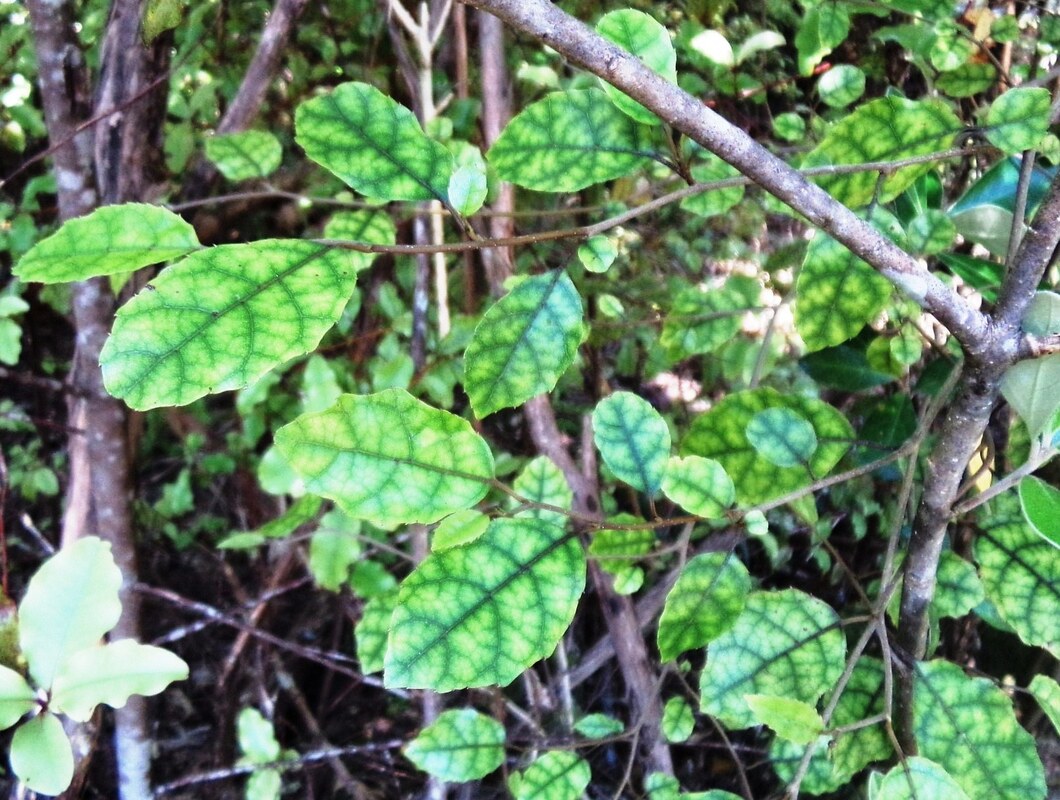
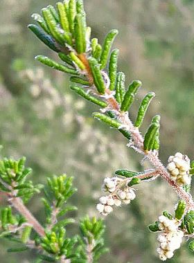
We were also fortunate to find a good specimen (and several small examples) of Pomaderris phylicifolia, a rare, nationally endangered, indigenous, small shrub that typically inhabits nutrient poor soils in coastal areas. The early Maori used to harden the roots by fire and then use them as fish hooks.
It wasn’t long before we reached a junction where we opted to take the Coman Track down into Karekare.
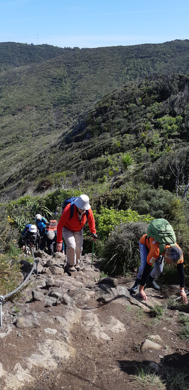
There were plenty of steps but they were new and well formed, easily handled by the group, and the chain rope up the one steep, rocky section didn’t slow us down either!
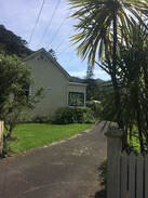
As the group exited the Coman track and entered Karekare, we came upon Winchelsea House. It was built of kauri, in 1899, by Charles Murdoch, manager of the early kauri sawmill in the valley. In later years It became a very fashionable and elegant place to stay with parties and dancing until dawn.
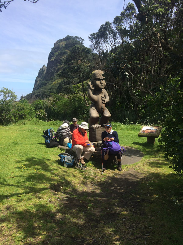
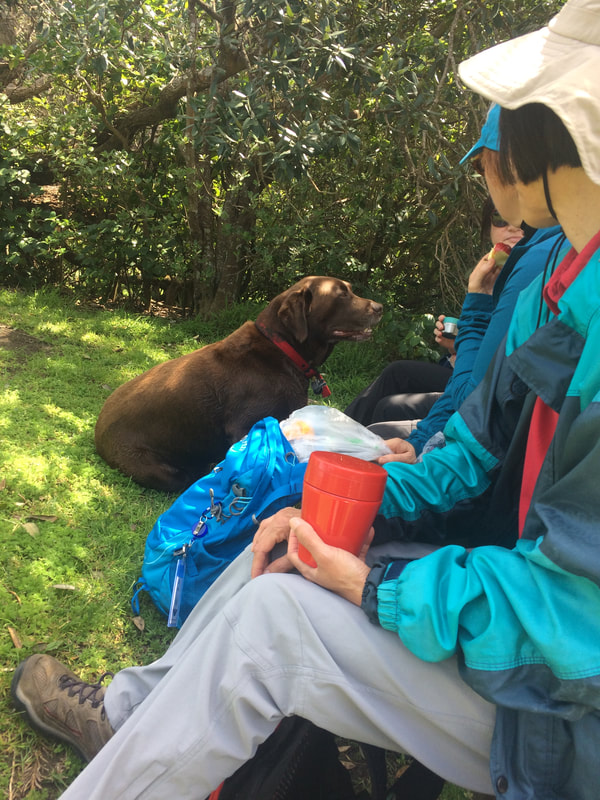
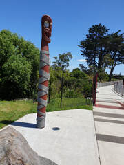
Time for lunch. Some of the group chose to sit at the base of the Pou Whenua that was hewn from a single block of totara and that was unveiled in 2003. It signifies the spiritual guardianship of Te Kawarau a Maki of the place. It also recognises that Karekare is a place to be enjoyed and respected by all. (From the explanation sign).
Time for lunch. Some of the group chose to sit at the base of the Pou Whenua that was hewn from a single block of totara and that was unveiled in 2003. It signifies the spiritual guardianship of Te Kawarau a Maki of the place. It also recognises that Karekare is a place to be enjoyed and respected by all. (From the explanation sign).
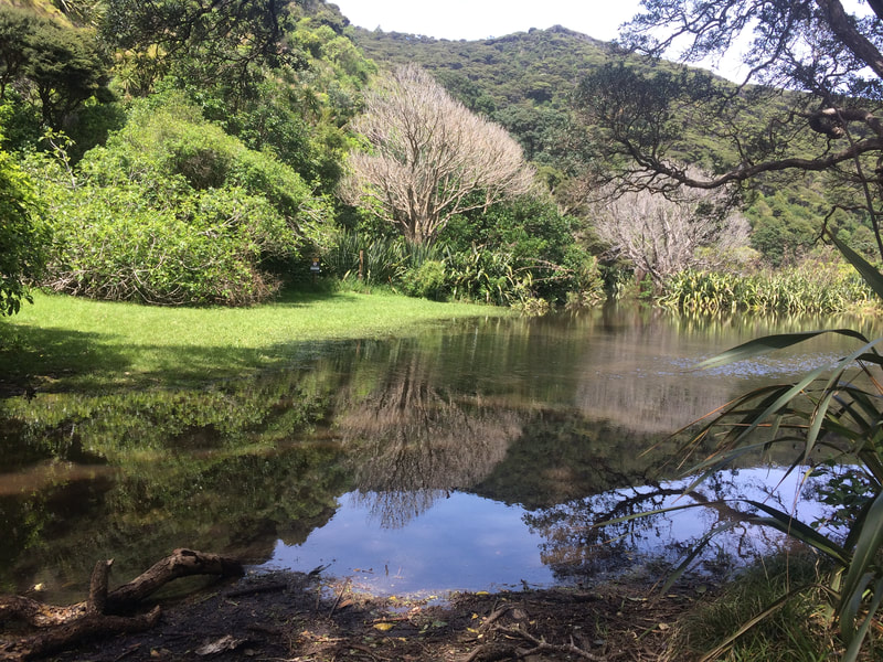
We set off for the beach (location for the Oscar winning movie “The Piano”) via the Pohutukawa Glade Walk. We were surprised to find the glade deep in water. When the recce was undertaken, just two weeks earlier, it was completely dry! A positive outcome however - with the lack of wind, the sitting water provided fantastic reflections.
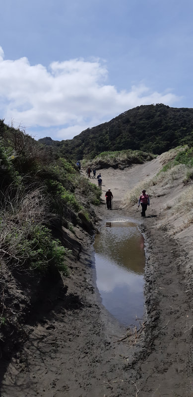
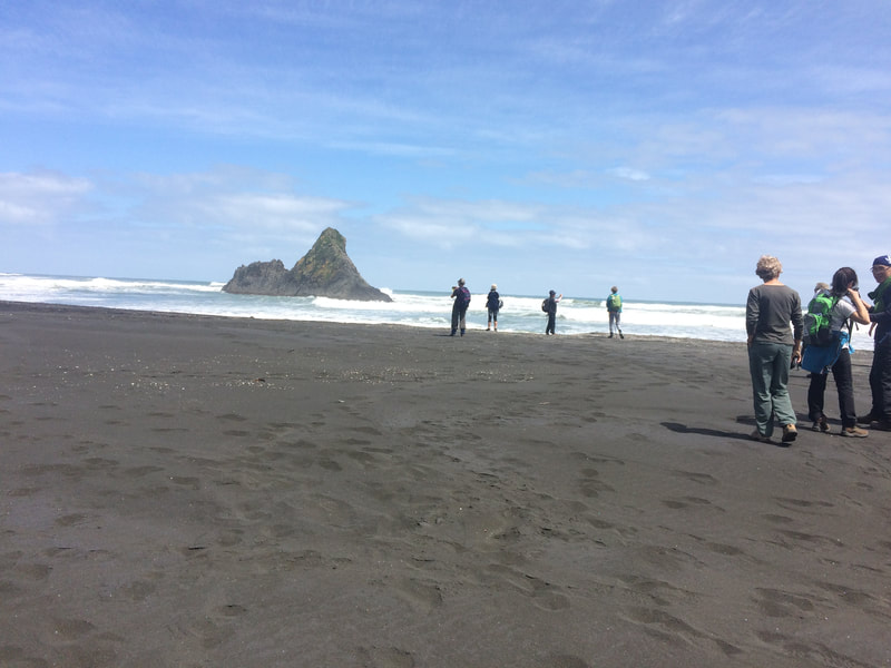
On our way down to the beach, on the black sand, we discovered that the tide was well out. The sound of crashing waves was still significant and seemed to be bouncing off the walls of the cliffs behind us.
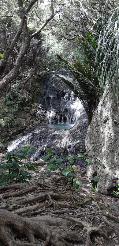
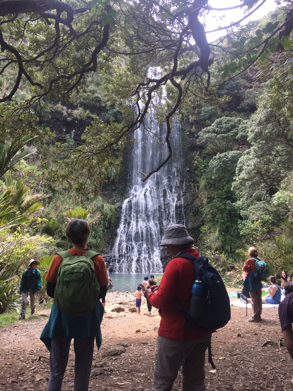
Finally, no matter how often you travel to this location, Karekare Falls are worth a visit every time. And, mention should also be made of the pretty Opal Pools Stream that you pass as you enter the track into the Falls.
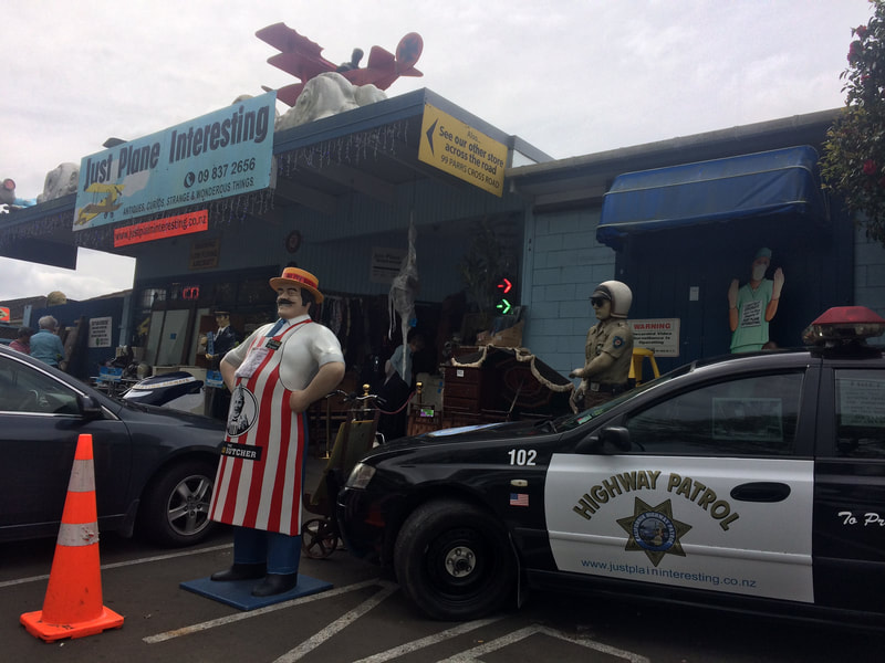
As we headed back into the city, an impromptu stop was made at “Just Plane Interesting” on Parrs Cross Road. What a treasure trove and a great way to wind up a fantastic day.
Many thanks to Molly, Linda and Bev, today's leaders.
Text: Linda Photos: Molly, Bev and Linda
6 October - Rotoroa Island
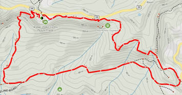
A 75 minute ferry ride from downtown Auckland had 36 of us arriving on Rotoroa Island (in the Hauraki Gulf, just off the eastern coast of Waiheke Island), on an overcast morning with light showers.
Historically, the island was not open to visitors. From 1911 to 2005, it was off limits to all but those going there for alcohol or drug rehabilitation in the care of the Salvation Army.
Four years after these services were disestablished, the Rotoroa Island Trust was set-up to purchase a 99-year lease from The Salvation Army. Along with dedicated partners and volunteers, the Trust has worked tirelessly to restore this unique island - over 20,000 pine trees felled to make room for 400,000 native plants!
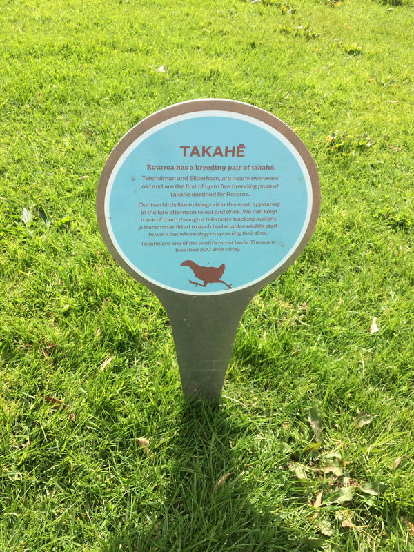
The Trust also undertook a major programme to make the island predator free. The next phase was a 5-year partnership with Auckland Zoo which helped develop the wildlife sanctuary that Rotoroa is today, a safe place for endangered species in need of care. Through this relationship, a number of endangered animals were released on the island, including takahē, tīeke (saddleback), kiwi, skinks and pāteke (brown teal).
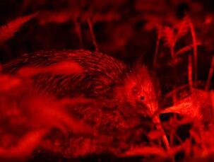 Brown Kiwi - Source: Backpacker Guide
After an introductory briefing from Andrew (the Trust volunteer on duty), we left the wharf and set off to explore the island. There was little to no chance that we might see a kiwi, but Andrew had explained that kiwi eggs were often incubated at Auckland Zoo and the vulnerable chicks, as a first step, were then released on Rotoroa (a kiwi crèche)!
Andrew thought there were 16 kiwi chicks currently on the island and once they graduate, they will then go back to Coromandel or onto a kohanga site, a larger predator-free location with a permanent breeding population of kiwi. Motutapu Island is the main kohanga site for Coromandel brown kiwi.
Andrew thought there were 16 kiwi chicks currently on the island and once they graduate, they will then go back to Coromandel or onto a kohanga site, a larger predator-free location with a permanent breeding population of kiwi. Motutapu Island is the main kohanga site for Coromandel brown kiwi.
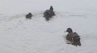 Brown Teal (Pāteke)
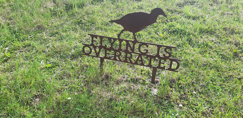
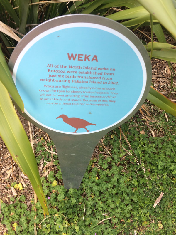
There were other birds we could expect to see on the island and as we struck out towards Cable Bay we kept our eyes open for fantail, tui, pukeko and of course cheeky weka. The tide was out and we were able to make our way to the far end of the beach.
Scrambling up the bank we immediately came upon the pond where Andrew suggested we might find a pair of brown teal (pāteke), our rarest waterfowl, with five or six young. We were indeed fortunate to see the pair but alas they only had one duckling with them.
Scrambling up the bank we immediately came upon the pond where Andrew suggested we might find a pair of brown teal (pāteke), our rarest waterfowl, with five or six young. We were indeed fortunate to see the pair but alas they only had one duckling with them.
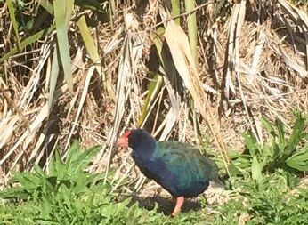 Takahē
Not five minutes further along the track we came across a pair of takahē - flightless birds indigenous to New Zealand, and the largest living member of the rail family.
Early in the 20th century they were considered extinct but Geoffrey Buckland Orbell MBE, is known for the rediscovery of the takahē in 1948. He found three of the species in a remote valley of the Murchison Mountains near Lake Te Anau.
There was a hopper in the field holding supplementary food but they seemed content pulling up grass and eating the succulent lower stems. They didn’t appear to be bothered by our presence so we stopped here for morning tea and were amazed when they kept moving in our direction, only turning when they were about 5 meters from us.
Our next destination was the North Tower. However, a choice had to be made. Up an almost vertical grass track, or return along the beach and connect with a longer track with an easier gradient. The split was 15 vertical /21 longer! The 360 degree views at the tower were amazing – the weather had cleared, the sun was shining and we could see for miles.
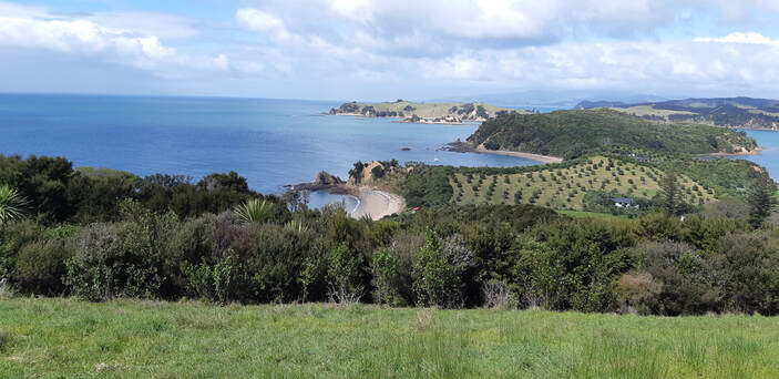
|
Back onto the North Tower Loop Track for only a short distance, we then diverted onto the South Loop Track. It wasn’t long before we had our first sighting of New Zealand native broom (Carmichaelia australis). A very unusual plant – stems that are flattened to catch the sunlight and seeds that are distributed when the seed pod bursts so seed travels only short distances, compared to wind and bird-dispersed seed. |
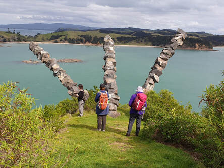
The South Tower provided another vantage point with views of Ponui Island, the Hunua Ranges, Clevedon and Waiheke.
It also provided us with the opportunity to closely inspect Chris Booth’s sculpture positioned on the southern tip of the island (and visible from the ferry). It was commissioned in memory of Jack Plowman, father of the island's benefactor Neal Plowman, and comprised of three post-tensioned arcs of boulders, inspired by wind bent branches of a nearby pohutukawa tree.
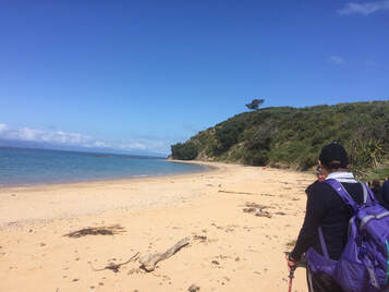 Men's Bay
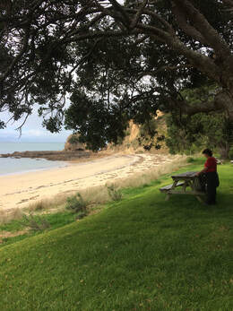
Our next stop was at another of the island’s stunning beaches, Men’s Bay. A curved golden bay that looks out across the Hauraki Gulf to the Coromandel. After a short afternoon tea stop, it was time to complete the Southern Loop and make our way to the Exhibition Centre (designed in the style of a traditional woolshed).
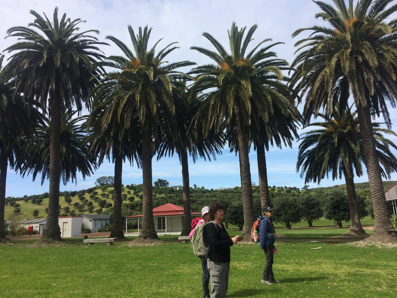
Standing proud outside the centre, are two old avenues of palms. Pine shelter belts were culled during the restoration of the island but thankfully it was decided to retain the avenues of Phoenix palms (Phoenix canariensis), also known as Canary Island date palms and the Norfolk Island pines (Araucaria heterophylla).
The centre showcases the island's fascinating history – from its Maori and early European history through to its many years in private isolation as New Zealand's first and longest running addiction treatment centre.
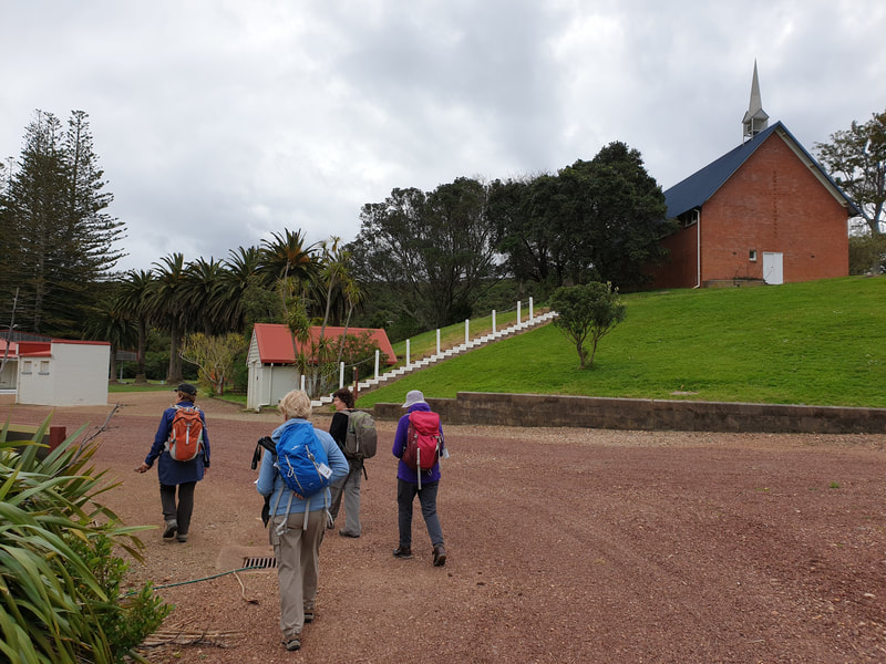
Around the exhibition centre there are also buildings that were from the rehabilitation era of the island – the original jail, a chapel, 1860’s school house and butchery.
Around the exhibition centre there are also buildings that were from the rehabilitation era of the island – the original jail, a chapel, 1860’s school house and butchery.
Thanks to both the endowment and vision of Annette and Neal Plowman, Rotoroa Island is now an idyllic wildlife sanctuary open to everyone and well worth a visit.
Thanks to:
Leaders - Molly, Linda and Anne for introducing us to this amazing destination.
Text: Linda
Photos: Molly, Sharleen and Linda
Leaders - Molly, Linda and Anne for introducing us to this amazing destination.
Text: Linda
Photos: Molly, Sharleen and Linda
