TRIP REPORTS - October-November 2023
19 November 2023 - AGM & Western Springs Park
|
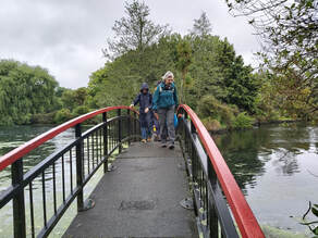
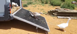
We stopped on a bridge to look at the eels, and Sandra took the opportunity to tell us about the culling of the geese that had taken place back in 2020. The numbers were unsustainable, they had become aggressive with the public and they fouled the environment. With each goose eating approximately 3kg of green matter a day this also meant the park’s pukeko and swans were missing out on food. |
The Council relocated almost 250 geese to Northland. 15 geese were retained and they were to be managed to ensure an over-population doesn’t re-occur.
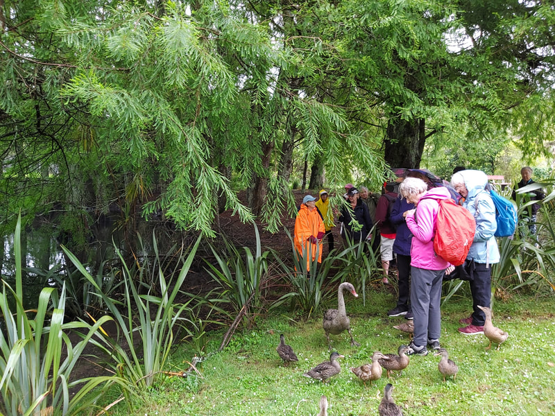
With ducks, and the odd swan, around our feet, we next paused to look at the swamp cypress with its weird conical knees, breathing roots.
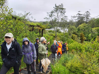
We then headed up the loop track, leading to West View Road, where the Western Springs Native Bush Restoration Project has been underway since April 2021. Following the removal of the pine trees covering the side of the hill, 7,428 revegetation grade native species were planted. And, in 2022, an additional 460 plants were added to infill the gaps. 178 kauri being grown for the project were also ready for planting in September 2022.
The density of the planting was obvious and the views back across Western Springs were amazing. Seeing spoonbills perching in the trees on the other side of the lake was definitely a bonus, especially given we recognised that in a year or two, the new growth would be so high this view would be lost.
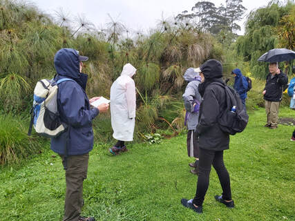 Papyrus (Cyperus papyrus)
Descending back into the park, we encountered a huge stand of papyrus (Cyperus papyrus). Sandra pointed out the triangular stems and went on to explain how, dating back to the ancient Egyptians, they were used to make sails, cloth, mats, and above all paper.
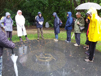
Our final stop of the afternoon was in the Fukuoka Friendship Garden – a gift from Fukuoka, Japan in recognition of our sister city relationship.. It was situated in the Auckland Zoo between 1990 and 2014 when unfortunately it had to be removed. A “Friends of Fukuoka Garden” group was established to push for its reinstatement and Western Springs was selected as the new site. The new garden was designed as a fusion between a traditional “stroll and tea garden” with a mix of Japanese and New Zealand native planting
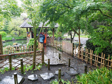 Fukuoka Friendship Garden
It was wonderful to see the ongoing regeneration and maintenance in the park. Western Springs is a wonderful asset for the community.
Sandra and Shona did the recce for this walk, but alas Shona broke her femur just 3 days before the walk.
Therefore, Sandra led with a little help from Linda.
Text: Linda
Photos: Barbara and Sue.
Sandra and Shona did the recce for this walk, but alas Shona broke her femur just 3 days before the walk.
Therefore, Sandra led with a little help from Linda.
Text: Linda
Photos: Barbara and Sue.
12 November 2023 - Waiheke Island
We had a lovely sunny day heralding summertime is finally here.
|
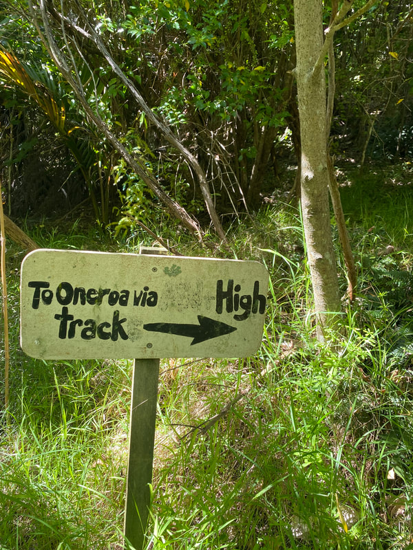
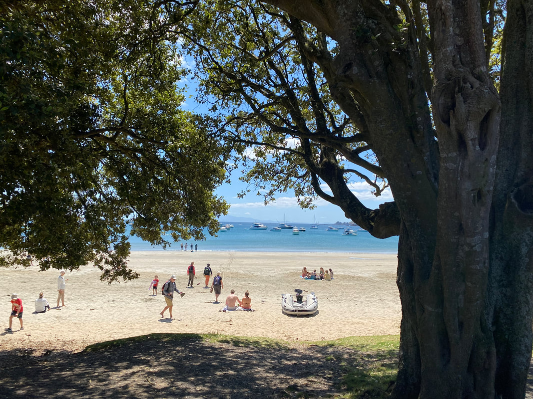
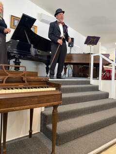
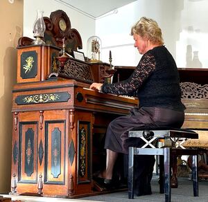
At the roundabout we took another bush walk down to Oue Street and up to Oneroa village for an early lunch. Some of us walked down to the beach to enjoy the view. After lunch 13 of the group met up and spent 45 minutes at the Whittaker’s Musical Museum where we were entertained by two volunteers, in costumes, with stories of the history of the museum and the instruments. Anne played tunes for us after each explanation about the different organs, pianolas and pianos. |
Then the A group walked down Ocean View Road to take a track with a good number of steps up to Delamore Drive to visit an old WWII observation site before walking back down to the tramping track that took us back to Ocean View Drive.
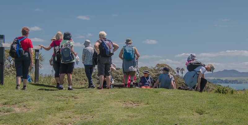
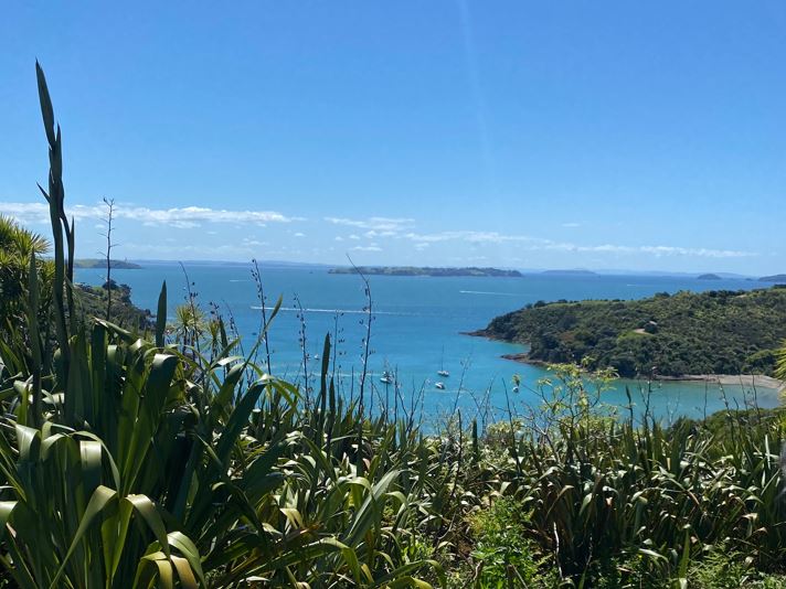
On the way we had a break at a look out giving wonderful views of the Hauraki Gulf and some of its island.
On the way we had a break at a look out giving wonderful views of the Hauraki Gulf and some of its island.
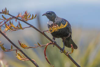 Mr Tui posing for the camera
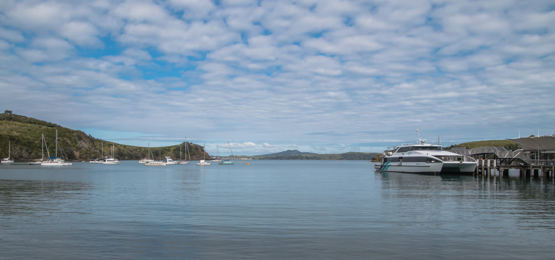
The city group returned to Auckland on the 3.30pm ferry
while the rest of us returned at 4pm to Devonport.
It was great to be back over on Waiheke again.
Special thanks to todays leaders - Shona and Barbara.
Also, the recce helpers - Karin, Dot and Rachel.
Text: Shona
Photos: Barbara and Linda
while the rest of us returned at 4pm to Devonport.
It was great to be back over on Waiheke again.
Special thanks to todays leaders - Shona and Barbara.
Also, the recce helpers - Karin, Dot and Rachel.
Text: Shona
Photos: Barbara and Linda
29 October - Mt. Donald McLean and Karamatura Track
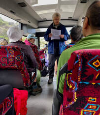
Well it certainly has been a long while since we have been able to get into the Waitakere Ranges. Driving from Titirangi to Huia there is still quite a bit of evidence of the slips caused by the cyclone at the start of the year and although we only had a small bus, it seemed like quite a large bus on the narrow roads we had to travel over to get to our destination.
Our first stop was at the Huia Domain for an early morning tea break and toilet stop. There are no toilets on the track until the very end. Then we drove over a ford which fortunately wasn’t too high even though it was high tide when we crossed over it and onto Te Rau-o-te Huia or Mt Donald McLean.
Our first stop was at the Huia Domain for an early morning tea break and toilet stop. There are no toilets on the track until the very end. Then we drove over a ford which fortunately wasn’t too high even though it was high tide when we crossed over it and onto Te Rau-o-te Huia or Mt Donald McLean.
Mt Donald McLean is the highest peak in the Waitakere Ranges and on a clear day you can see all the way to Mt Taranaki. Unfortunately not on the day
we were there though, it was dull. The uphill climb to the top was reasonable and we could stop to admire the views on the way up.
There were 2 good viewing platforms at the top and you could see just what a huge area the Waitakere Ranges covered. From the viewing lookouts you could see down to Whatipu and the sea beyond and even the little lighthouse at Awhitu was noticeable.
Liz told us about the background of the mountain before we left the bus.
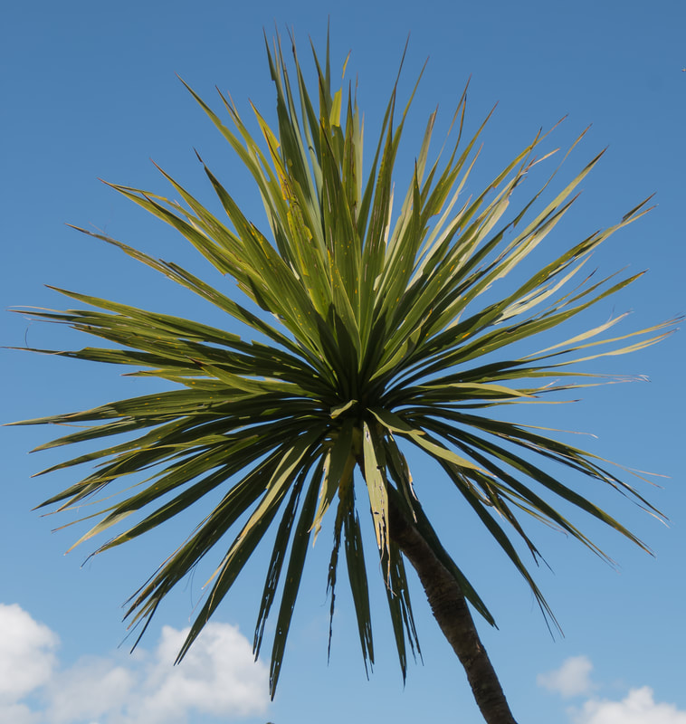
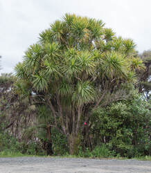 The humble "Cabbage Tree" can look impressive when allowed space to grow.
After a good look around and photo taking we went back to the carpark where Praemi pointed out some special trees in the carpark that we should also keep an eye out for on the Donald McLean and Karamatura Tracks.
Among these were mingimingi, rimu, lancewood, matipo, etc.
We then split up into two groups.
The 'A' group walked the full length of the Donald McLean and
Karamatura Tracks, while the 'B' group spent most of their time
"botanising" and walking the Donald McLean Track and back to the bus.
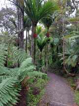
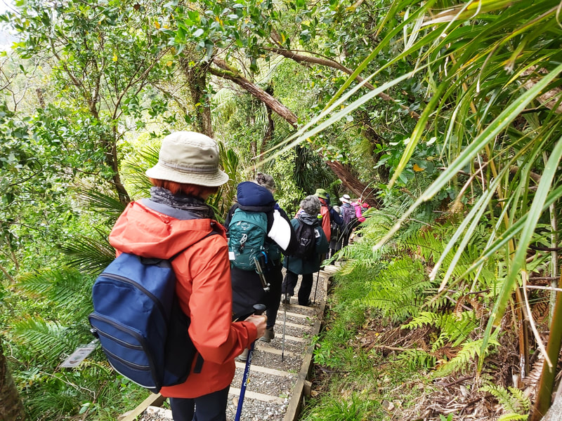
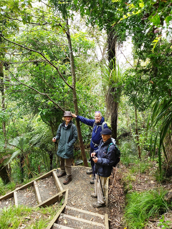
The track is amazing, quite wide and firm to walk on – a shingle base, and obviously there had been quite a bit of work done on it by DoC. It is a steady climb up hill to start with, but the trees are amazing, so there was plenty to look at. We saw rimu, totara, kauri, tree daisy, miro, matipo, lancewood, rewarewa, horopito, and orchids just days away from flowering, to name just a few.
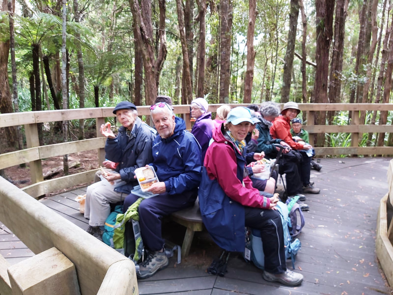
Boardwalks have been built where there is kauri present and on one of them was a large table and chairs, perfect for our lunch stop. After lunch we continued on this lovely track and down all the stairs but they are well formed and all going downhill.
Boardwalks have been built where there is kauri present and on one of them was a large table and chairs, perfect for our lunch stop. After lunch we continued on this lovely track and down all the stairs but they are well formed and all going downhill.
|
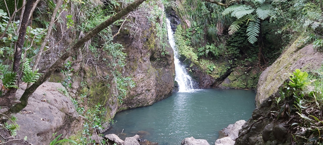
About 2/3rds of the way down the track we came to the turnoff to the waterfall with a viewing platform. There was quite a bit of water coming over that waterfall and into the river and the platform gave great viewing.
We returned to the main track and had to rock hop over the little stream coming down the hillside and into the main river. It wasn’t difficult but you had to watch what you were doing so you didn’t get wet feet. |
The B group also climbed the Donald McLean peak to wonderful views but a cold wind.
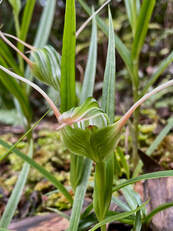
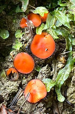
On returning to the bus ten people started the B group walk. We enjoyed botanising with Praemi and Adele, sighting some unusual trees including the black matipo. We also sighted some green-hood orchids and the rare eyelash fungus. We learnt from Adele that B. gibbum is very long lived but never grows higher than the one we saw!
On returning to the bus ten people started the B group walk. We enjoyed botanising with Praemi and Adele, sighting some unusual trees including the black matipo. We also sighted some green-hood orchids and the rare eyelash fungus. We learnt from Adele that B. gibbum is very long lived but never grows higher than the one we saw!
Blechnum gibbum Black matipo tree Black matipo flowers
Other ferns we saw were the lovely umbrella fern, including some not quite opened completely, and another Blechnum, B. fraserii. Of course, B. novae zealandii was also spotted.
Umbrella fern showing the "layers" Partially open fronds A forest of Blechnum fraserii
The group found the combination of the cold wind and the climb up the peak to be tiring and time was moving on. A group decision was made to lunch earlier than planned. We then returned to the bus still “botanising” and had a slow drive down the hill. We spotted more young tanekaha (celery pine) and both large- and small leaved mingimingi on the way back.
We arrived at the Huia Museum shortly after opening at 1.30pm, in good time to meet up with the A group and still have time for both groups to look through the museum.
A few more photos from Sue, who went with the A group:
A few more photos from Sue, who went with the A group:
Text: Anne and Liz, our leaders of the day.
Photos: Barbara, Kevin, Anne, Sue and Praemi
A big "Thank You" to leaders Anne and Liz who did two reccies for this walk and to Kevin and Jennifer who helped them with the second recce and on the walk day, also to Adele who passed on her deep knowledge of the flora of the Waitakeres!
Photos: Barbara, Kevin, Anne, Sue and Praemi
A big "Thank You" to leaders Anne and Liz who did two reccies for this walk and to Kevin and Jennifer who helped them with the second recce and on the walk day, also to Adele who passed on her deep knowledge of the flora of the Waitakeres!
15 October - West Mahurangi Regional Park
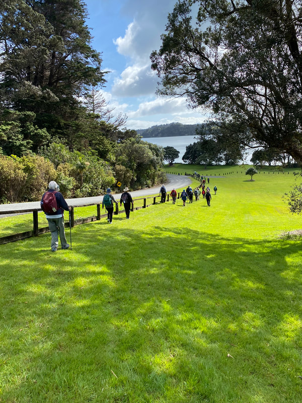
As usual Oki and his bus arrived with time to spare and departed each pickup location with all the cheerful ANHWC walkers right on time and everyone looking forward to the walks in the Mahurangi Regional Park under mostly sunny spring skies.
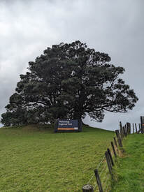
When we arrived at the destination’s parking lot an RV was impeding the bus’s turnaround space, as it turned out, asking the owner of the RV to please move his home forward a bit, we also learned, to the great relief of those who had opted to go on the walk rather than stay glued to the TV, that New Zealand was ahead of Ireland in the Rugby Quarter Finals. I am sure the cheers can be heard when reading this.
The entrance to the park is a telltale sign of what to expect: majestic trees that show the force of nature and many spectacular view points to take in the beautiful lay of the land and sea!
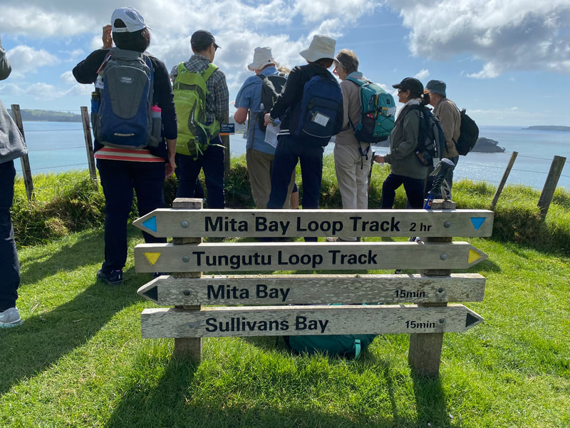
In addition, the park has 3 bays and an estuary as we learned from Don’s introduction. We will be visiting two of the bays, each with its own history.
Sullivan’s Bay: John Sulllivan, a sea captain, married Merehai Kaipuke and settled here in the 1870s. Their descendants farmed the land for almost a century and sheep still graze here today.
Mita Bay: The park was the ancestral home of Ngati Rongo. Kumara storage places can still be seen above the bay.
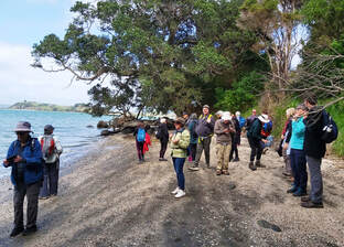
Once we had gathered on the beach of Sullivan’s Bay we split up into A and B walker groups.
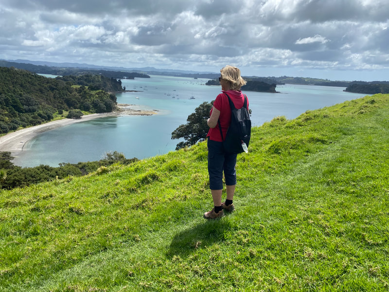
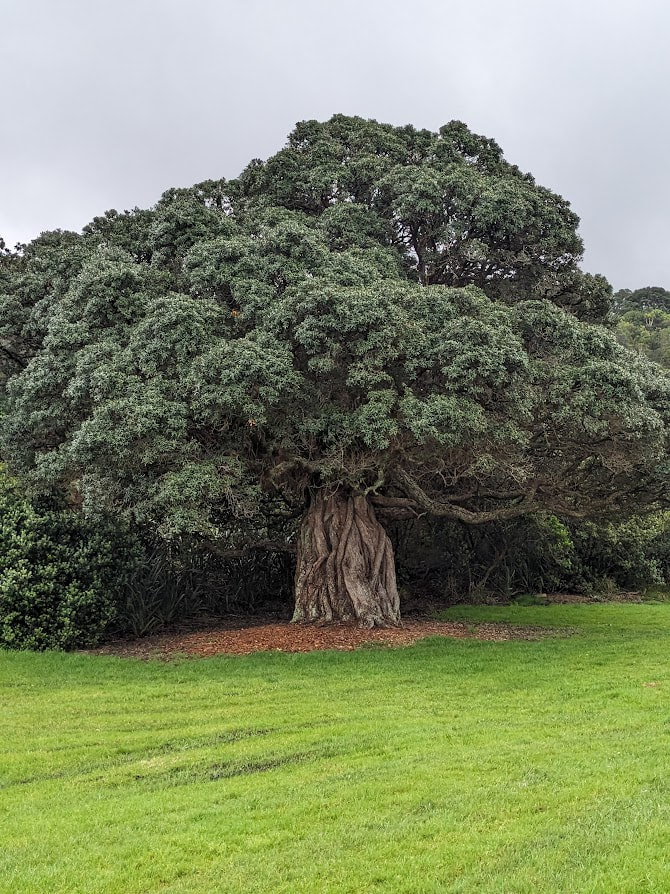
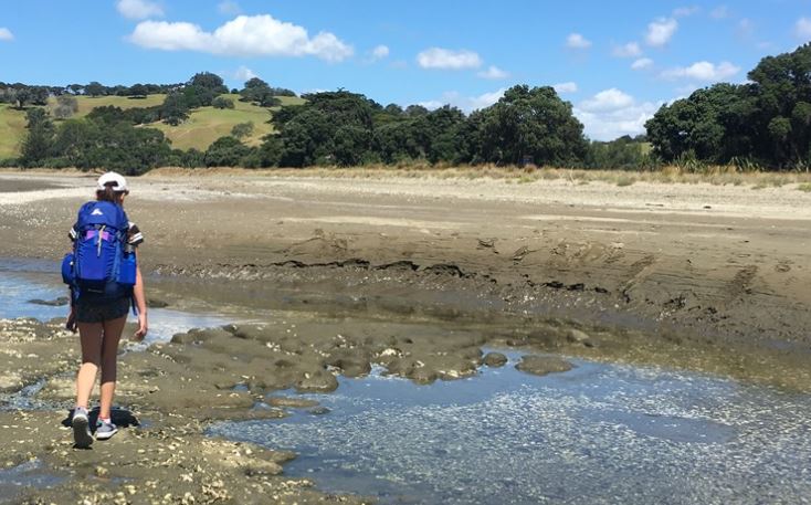
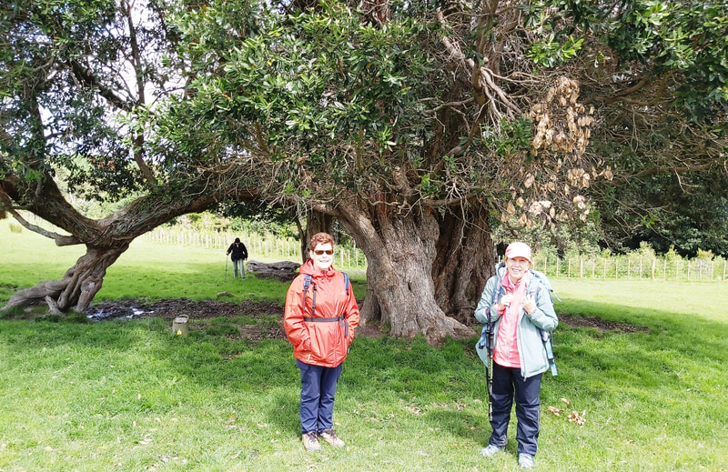
The A group started on a pretty steep climb up the Tungutu Loop track after admiring another one of the magnificent trees. The trail crossed a pasture which had been populated with sheep and lambs during the recce but was empty now. Going further up through somewhat muddy bush we emerged into the sunlight again at Tungutu Point, where we were rewarded with a great view. The Mahurangi River with its harbour right below us and the Hauraki Gulf to the right.
The A group started on a pretty steep climb up the Tungutu Loop track after admiring another one of the magnificent trees. The trail crossed a pasture which had been populated with sheep and lambs during the recce but was empty now. Going further up through somewhat muddy bush we emerged into the sunlight again at Tungutu Point, where we were rewarded with a great view. The Mahurangi River with its harbour right below us and the Hauraki Gulf to the right.
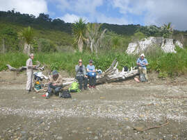
We zigzagged down a narrow trail through open pasture and about 90 steps down to Mita Bay for our well-deserved morning tea.
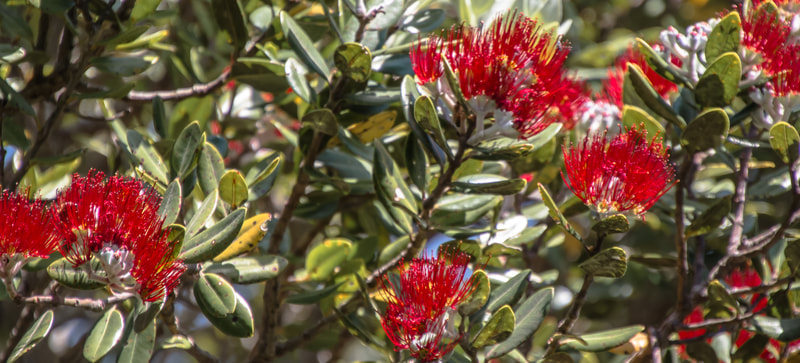
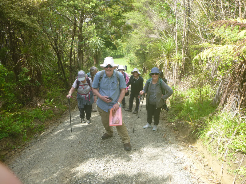
From here we continued on the Mita Bay Loop Track which is a 4wd gravel road that has a number of very steep sections. But taking a leisurely approach to the ascend we all made it to the top where we had to walk along a level stretch of road for a bit. Here we saw a row of early pohutukawa blooms as well as an enormous one with lots of adventitious roots.
From here we continued on the Mita Bay Loop Track which is a 4wd gravel road that has a number of very steep sections. But taking a leisurely approach to the ascend we all made it to the top where we had to walk along a level stretch of road for a bit. Here we saw a row of early pohutukawa blooms as well as an enormous one with lots of adventitious roots.
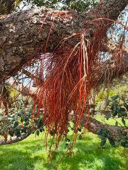
We finished our first walk by switching over to the Tungutu Loop Track again which leads us back down to Sullivan’s Bay through a pasture, this time alive with sheep and lambs. The beach at Sullivan’s Bay is our destination for lunch.
After a meal and some rest, we go off to our second walk which takes us up the Cudlip Loop Track to Cudlip Point. The short spur to Cudlip Point is a bit muddy through the bush and slows us down somewhat but the mud does not seem to even be noticed by a group of boy scouts who just rush past us. We all made it through without any accidents though.
Onwards and downwards to Te Muri Estuary for a quick look at a nice sandy beach where we found a somewhat riggedy remnant of an attempt at a raft.
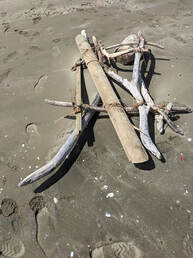
The final stretch takes us up through light bush and back to the waiting bus.
Group B first walked southwards along the Sullivan Bay sandy beach, towards the rocks, where they noticed an unusual sea-eroded pattern of the beach rocks - the blocks of sandstone seemed to be encased in a jointing sandstone of a different colour. The beach rocks provided a great place for their morning tea break. Two dotterels were spotted at the beach.
Fortified, the group bravely resolved to take the more direct uphill approach on the graded and occasionally very slippery track to Tungutu Point to enjoy the superb view to the north.
They then followed the pleasantly descending track through the paddock dotted with some very large and magnificent trees - pohutukawa and totara - back to Sullivan Bay for a leisurely lunch.
Lunch was followed by a short walk along the beach towards the north rocks, and back, then a longer walk down to the Te Mûri Estuary. From the estuary this group also took the short walk through the light bush area back to the bus.
Lunch was followed by a short walk along the beach towards the north rocks, and back, then a longer walk down to the Te Mûri Estuary. From the estuary this group also took the short walk through the light bush area back to the bus.
|
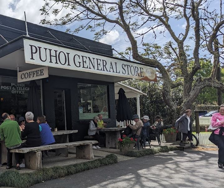
We all finished the day’s activities with a stop in the quaint village of Puhoi where refreshing ice cream and/or a famous local beer awaited us. With special thanks to our leaders on the day - Don, John and Karin. Also, Vanessa who assisted with the recce. Text: Karin Photos: Karin, Catherine, Shona and Linda |
1st October - Duder Regional Park
Our first stop today was at the Clevedon Market, where we partook in the delicious selection of treats available, from crispy whitebait fritters to the flakiest pastry pies and tasty falafel wraps with dressing. Certainly there was something to suit all palates.
The next stop was Duder Regional Park and a good walk to help digest all the treats we had eaten.
This Park is on the Whakakaiwhara Peninsula and was purchased by Auckland Regional Council in 1995. At this time it was operating as a sheep farm and the ARC have continued the farming operation while restoring the coastal forest, valley and wetland ecosystems.
Fortunately the weather was good and the metal farm tracks we walked over were dry, but we had to carefully walk around a number of muddy patches on the path to Duck Bay. Then we were able to climb down onto the beach and view the lovely pohutukawa trees that line parts of the coast. We spotted a couple of kereru too, just before we jumped onto the beach.
Next, it was onto the farm pastures where we saw fat lambs with their mothers. Over a couple of small hills, and then we were on the narrow path that leads on to the end of the peninsula, passing sections of recently planted native trees along the way.
The views over the Hauraki Gulf were really spectacular. The blue sky, the blue sea and the islands scattered around make gorgeous viewing, so it was lovely to just sit and look!
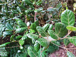 The "indestructible" taraire leaves.
Our final track back to the bus started off a bit slippery at the top section but then progressed into a lightly forested area that gives an impression
of what this peninsula could have originally looked like.
Thank you, leaders Anne and Heather!
Text: Anne; Photos: Sue
