Trip Reports May - June 2022
26 June 2022 - Pah Homestead, Monte Cecilia Park and Taumanu Reserve
Pah Homestead, Monte Cecilia Park
Monte Cecilia Park is a destination with something for everyone – tree enthusiasts, art lovers, history buffs.
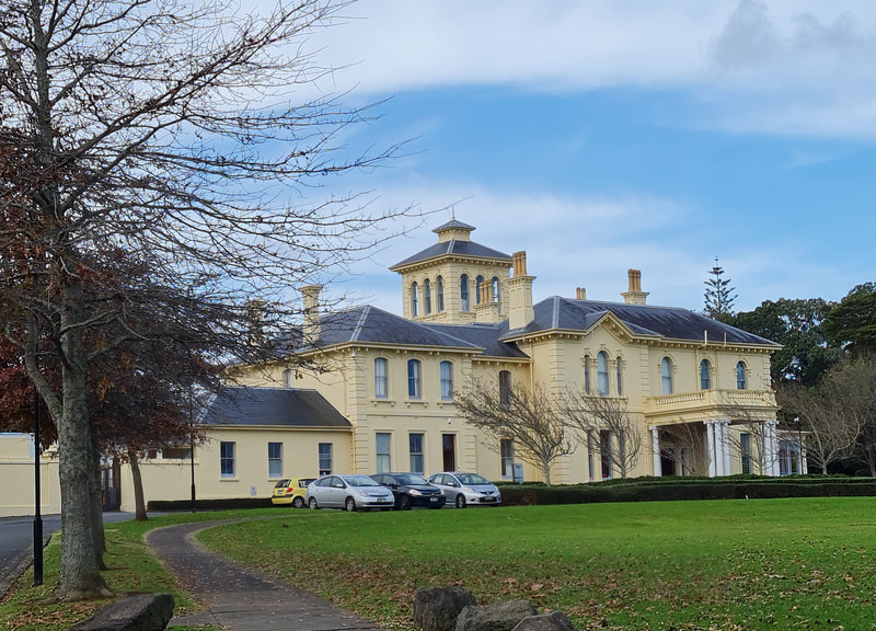
Pah Homestead, the present mansion, was built in 1877-1879 as a ‘gentleman’s home’ for Hon. James Williamson and since that time has been a boarding school, an orphanage, a convent, even emergency housing. It is now owned by Auckland Council and is the home of the Wallace Arts Trust. An impressive information board at the entrance to the park outlines the history of the park and the homestead with a timeline, historic photographs and interesting stories, not be to missed.
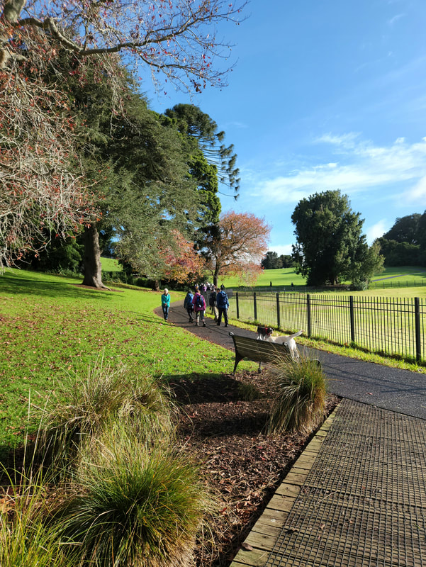
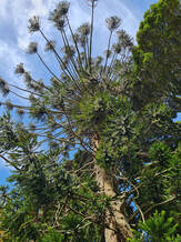
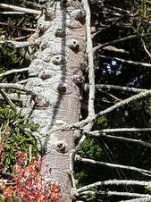
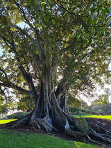
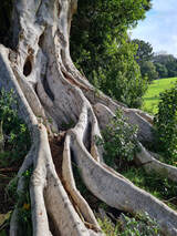
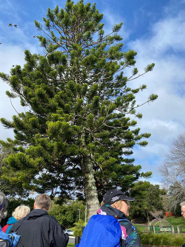
We began our visit with a leisurely walk around the perimeter path of the park, taking time to learn a little about the most significant trees – Queensland kauri (Agathis robusta), Moreton Bay figs (Ficus macrophylla) with their massive buttress roots, spiky Bunya pines (Araucaria bidwillii) that date back to Jurassic times, huge Illawarra figs (small leaved fig, Ficus obliqua) and Hoop pine (Araucaria cunninghamii), plus some very large Norfolk pines.
Several of these majestic trees are the largest in New Zealand and were planted by the first European owner, William Hart, back in the 1940s. Comments were overheard about how lucky we are to have these green spaces and wonderful trees, the legacy of early Aucklanders.
Trees from left: Bunya pine & its spiky trunk; Moreton Bay fig, Illawarra fig.
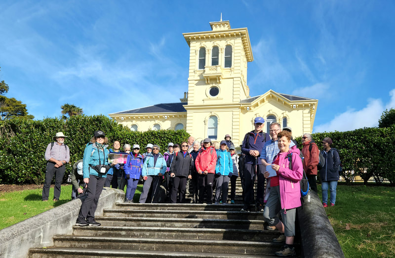
It is hard not to be impressed by the architecture of Pah Homestead , a Category 1 Historic Place, and in its time “the finest house in Auckland”. We had time to explore the interior of the building, noticing the original features - marble fireplaces, grand staircase, ornate ceilings, mosaic tiling and rich wood panelling.
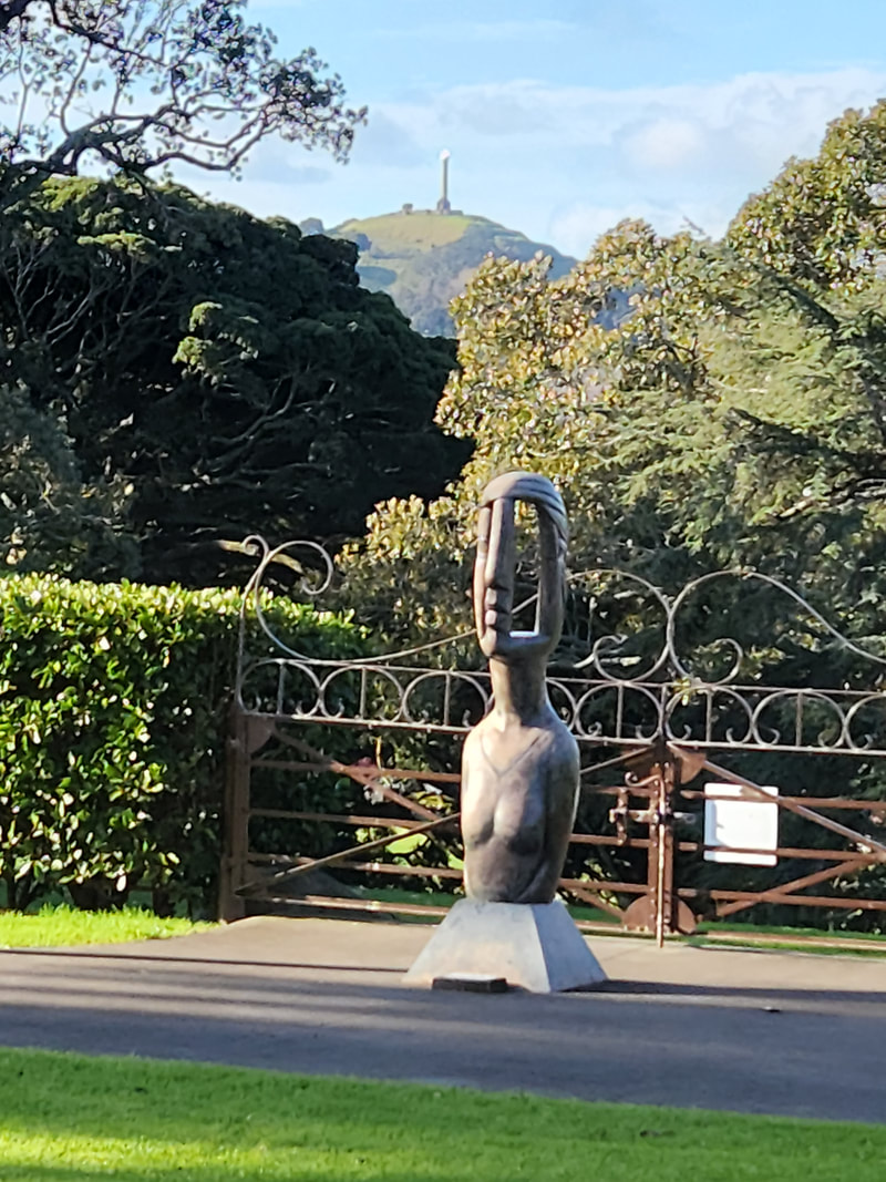
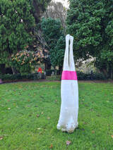
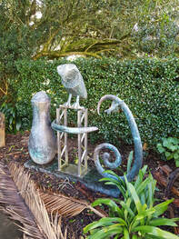
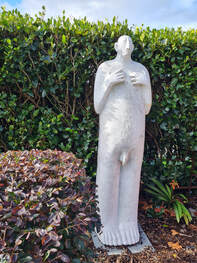
There were some small art and photography exhibitions to discover and then outdoors a wander around the wide range of sculptural works by many of New Zealand’s leading artists, prompted lots of chatting and thoughts-sharing!
Photos below: Terry Stringer, Figure in a Landscape Head; Sam Duckor-Jones, Strong Men Point Their Toes; Paul Dibble, Waitakaruru, Where the Owl Sits on the Water; Sam Duckor-Jones, Full Length Mirror
Taumanu Reserve, Onehunga
After lunch it was time to leave and we again walked partway down the original carriageway to a side track that led us out onto Herd Road then Queenstown Road. As we walked down the hill we could see before us the Taumanu Reserve and the Onehunga lagoon where our afternoon walk was to take us.
Being able to cross the busy motorway via the overhead walking bridges was a treat and then descending into the peaceful Taumanu Reserve, we were enticed to walk along the waterfront.
Back in the 1970s the SH20 motorway cut across the Manukau Harbour, robbing the people of Onehunga of their beach, leaving just a small lagoon. Many years later after much lobbying, the Onehunga Foreshore Restoration Project became a reality.
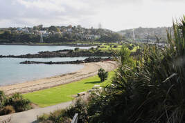
The design of the reserve (which is manmade) references the volcanic and cultural significance of Onehunga and focuses on rebuilding the ‘natural’ characteristics of the coast.
The new coastline stretches out for more than a kilometre and within that area are nine new beaches, some particularly layered with shell and planted to deter animals from disturbing the nesting birds.
We had time for a snack by one of the sculptures on the waters edge before heading back over the motorway via the Taumanu Bay Reserve Bridge through the Onehunga Bay Reserve which is a tidal estuary hosting New Zealand's premiere wake-boarding park and past the busy locals walking their dogs.
To vary our route returning to the Pah Homestead, we walked up Pleasant Street past the Onehunga Community High School and some beautiful examples of the early colonial homes built in Onehunga.
Thank you to whoever manages the weather as the predicted thunderstorms never arrived and we had a lovely warm, dry day for exploring a small portion of the Onehunga area.
Thanks also to Sharleen, Heather and Robyn for organising the day for us.
Text: Robyn & Sharleen
Photos: Praemi, Robyn, Sharleen
12 June 2022 - Grey Lynn and Coxs Bay
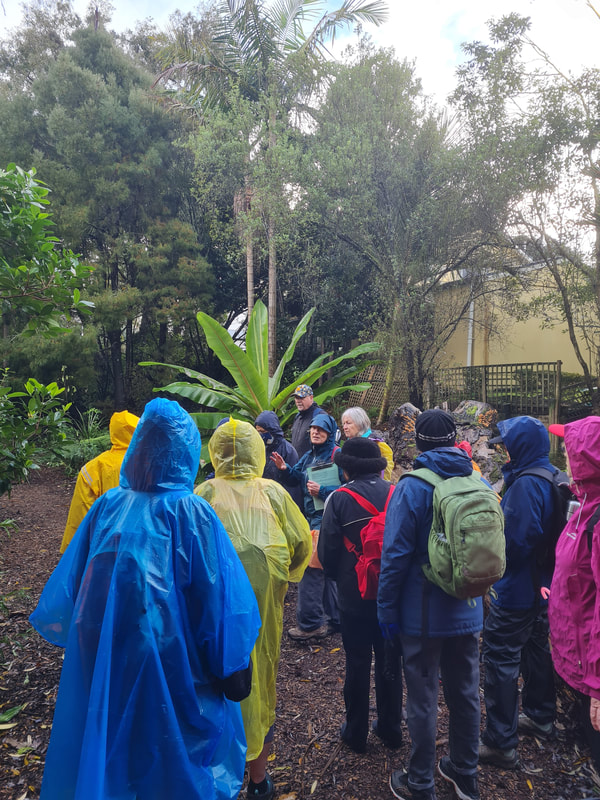
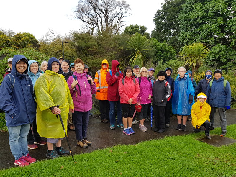
In spite of the poor weather we made an early start, walking through Grey Lynn Park in driving rain. Unbelievably, the rain stopped within minutes, though the forecast had been quite dire for the morning! We followed what amounted to a green corridor all the way to our morning tea stop, going through Hakanoa Reserve.
We saw how people from the local area had planted many native trees along the little stream running through it. At the end of the reserve there was also a “Pollinator garden” which provided shelter for many insects.
After a stop for coffee, when many of us were tempted to treat ourselves to some yummy sweets, we headed for another community project, Kelmarna Gardens.
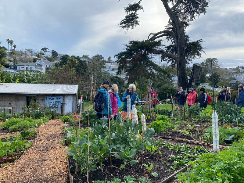
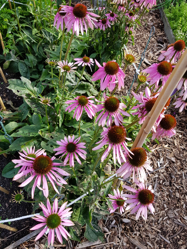
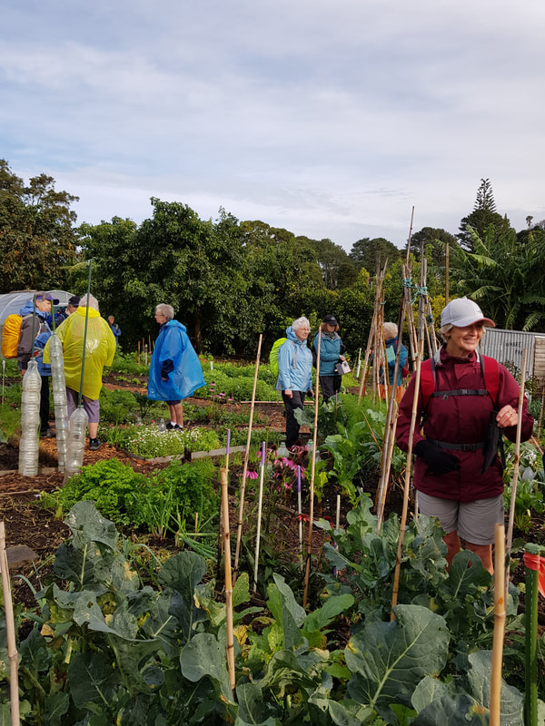
Here, local residents have set up a totally sustainable garden where vegetables, herbs, flowers and fruit trees are all grown in glorious profusion There were even some chooks there (of several different breeds, of course) that provided more manure for the garden than the single horse in the next field could provide.
Here, local residents have set up a totally sustainable garden where vegetables, herbs, flowers and fruit trees are all grown in glorious profusion There were even some chooks there (of several different breeds, of course) that provided more manure for the garden than the single horse in the next field could provide.
Difficult as it was to drag ourselves away, we then headed towards Jervois Road, named after a 19th century Governor of Auckland. From there, heading further towards the sea, we were very impressed by so many of the old houses: beautiful architecture, well maintained buildings and gardens. It was easy to believe that so many famous and important people, including Michael Joseph Savage and “Aunt Daisy” had lived in this area.
We went down to Herne Bay for lunch, where most of us enjoyed the sun on the beach, while a few chose the seating provided at the top level.
Heading for Coxs Bay, there were many more beautiful houses to admire. Then we went down to the bay along the steps that had replaced the rough track some of us remembered from many years ago. Finally, going through Cox’s Bay Reserve, we returned to our starting point.
We were lucky to have Jennifer design this walk for us, and with her extensive local knowledge, we ended the day having enjoyed a very stimulating time exploring some beautiful streets and green areas. Big thanks, Jennifer, also to Praemi and Jenny.
Text: Praemi
Photos: Praemi, Linda & Sharleen
Text: Praemi
Photos: Praemi, Linda & Sharleen
29 May 2022 - Le Roy's Bush and Northcote Point
Today’s walk began at Little Shoal Bay, where parking wasn’t a problem for the 35 members who gathered.
After Fiona welcomed everyone and outlined our plans for the day, we headed over the reserve to a bridge, where we spent a few minutes looking at the eels, before arriving at the entrance to the track into Le Roy’s Bush. Fiona also detailed several other things the group should look out for – raupo, epiphytes, goldfinches, pukatea tree and NZ gloxinia (taurepo).
After Fiona welcomed everyone and outlined our plans for the day, we headed over the reserve to a bridge, where we spent a few minutes looking at the eels, before arriving at the entrance to the track into Le Roy’s Bush. Fiona also detailed several other things the group should look out for – raupo, epiphytes, goldfinches, pukatea tree and NZ gloxinia (taurepo).
Edward Le Roy bought much of the valley (Le Roy’s Bush) in 1918 and as an enthusiastic collector of plants, and a keen gardener, he culverted the stream to prevent flooding, and enriched the flora with indigenous species collected from other areas of New Zealand.
On Le Roy’s death in 1947, the Forest & Bird Society purchased the estate and in 1955 the Scenic Board was established to control the reserve. During the late 1950s and early 1960s the estuary in the lower catchment was reclaimed allowing the freshwater raupo wetland to form. The reserve protects kauri, totara, tanekaha, puriri, taraire, kohekohe, nikau and many kinds of ferns.
On Le Roy’s death in 1947, the Forest & Bird Society purchased the estate and in 1955 the Scenic Board was established to control the reserve. During the late 1950s and early 1960s the estuary in the lower catchment was reclaimed allowing the freshwater raupo wetland to form. The reserve protects kauri, totara, tanekaha, puriri, taraire, kohekohe, nikau and many kinds of ferns.
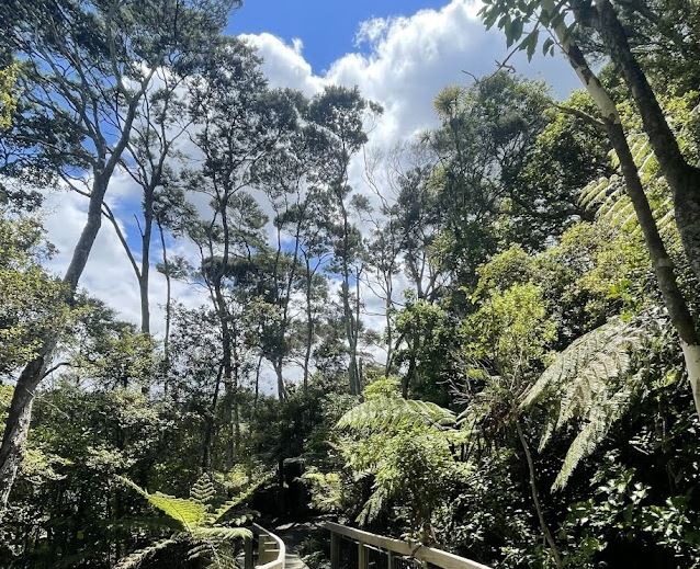
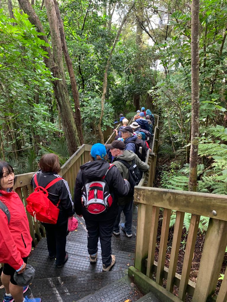
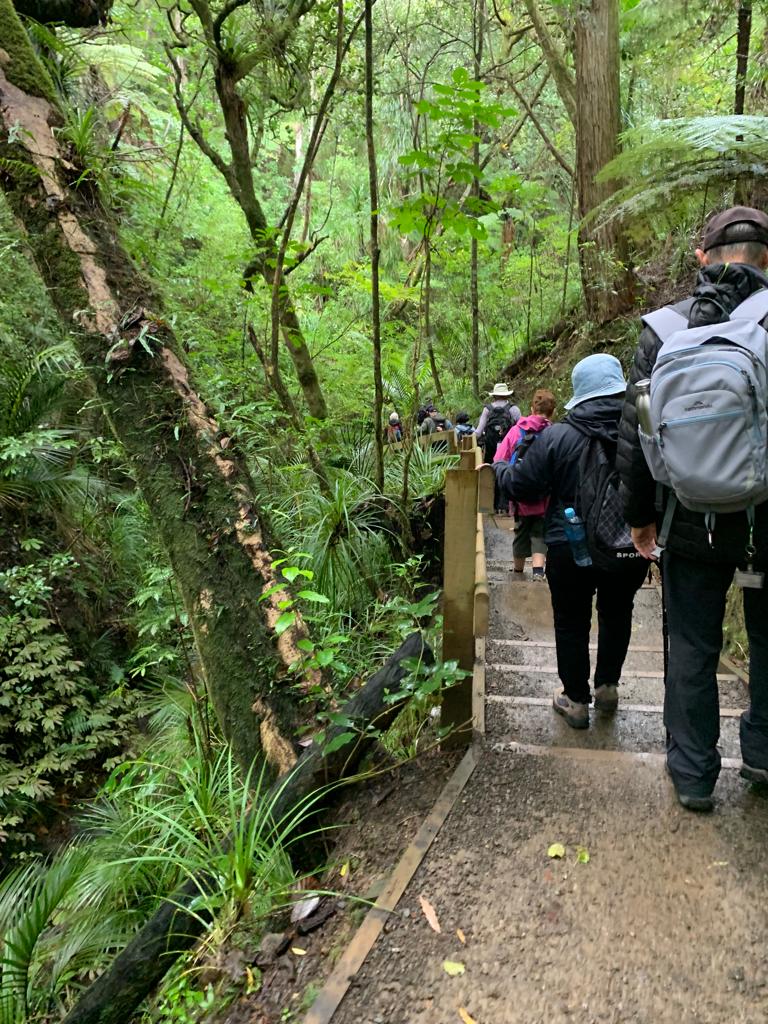
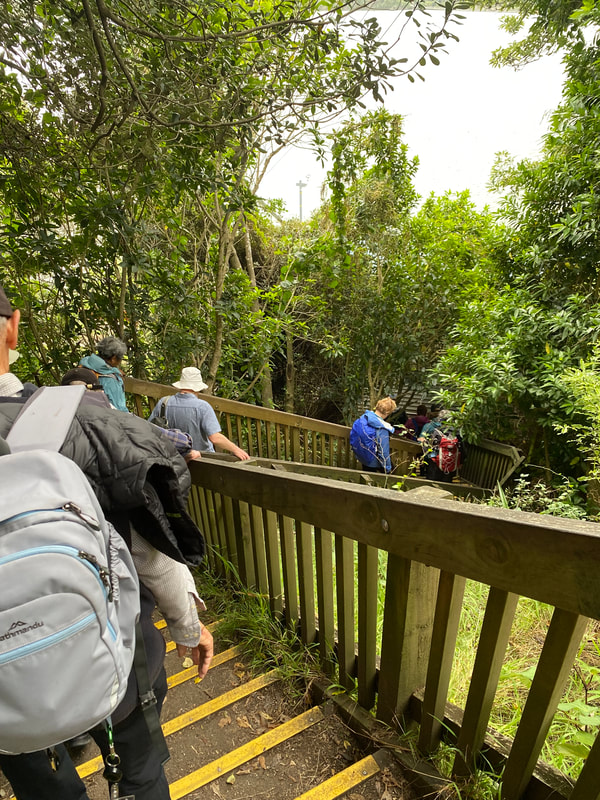
The well-formed timber boardwalks and steps provided easy access for us through the sensitive ecological areas whilst protecting the tree roots. Reaching the exit onto Hinemoa Street, we decided not to make our way back to Little Shoal Bay via suburbia, preferring to return the way we came, experiencing the bush from the opposite direction. This beautiful remnant of native bush definitely provided a unique experience - hard to believe we were just ten minutes from the heart of the city.
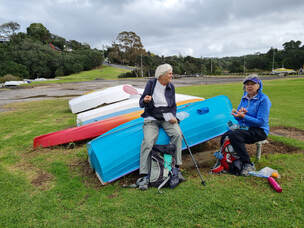 Little Shoal Bay - Morning Tea
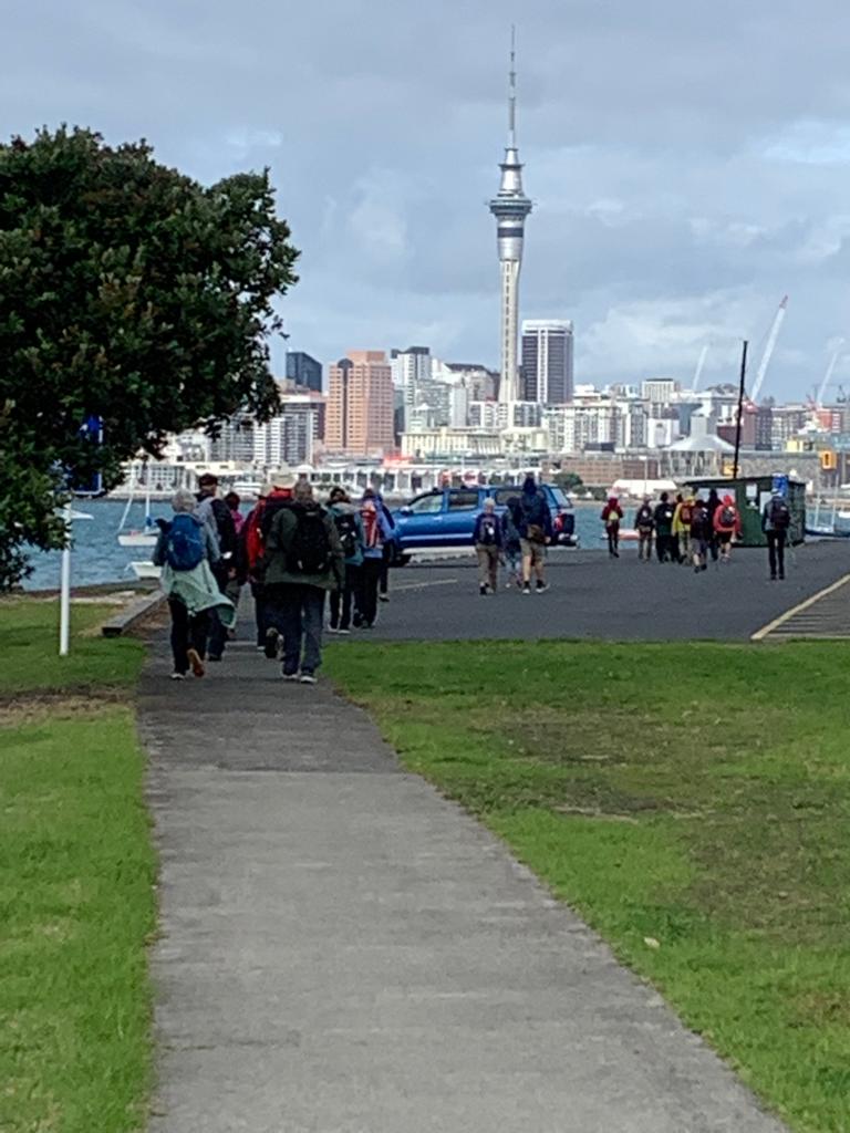
We could actually see how close to the city we were, as we admired views of the city at our morning tea stop on the shores of Little Shoal Bay. We then headed down to the bottom of Tennyson Street where we entered an underpass that took us through to Sulphur Bay (reclaimed for the motorway in the 1950’s) on the seaward side of the motorway.
The wind had picked-up and the noise of the traffic was persistent – not, the nicest environment. We were quick to make our way west to the boat lockers and then under the shelter of the bridge. The tide was well out, but some of the rocks were very slippery so care was required. The views through the bridge columns to the city were simply amazing and a great photo opportunity.
The wind had picked-up and the noise of the traffic was persistent – not, the nicest environment. We were quick to make our way west to the boat lockers and then under the shelter of the bridge. The tide was well out, but some of the rocks were very slippery so care was required. The views through the bridge columns to the city were simply amazing and a great photo opportunity.
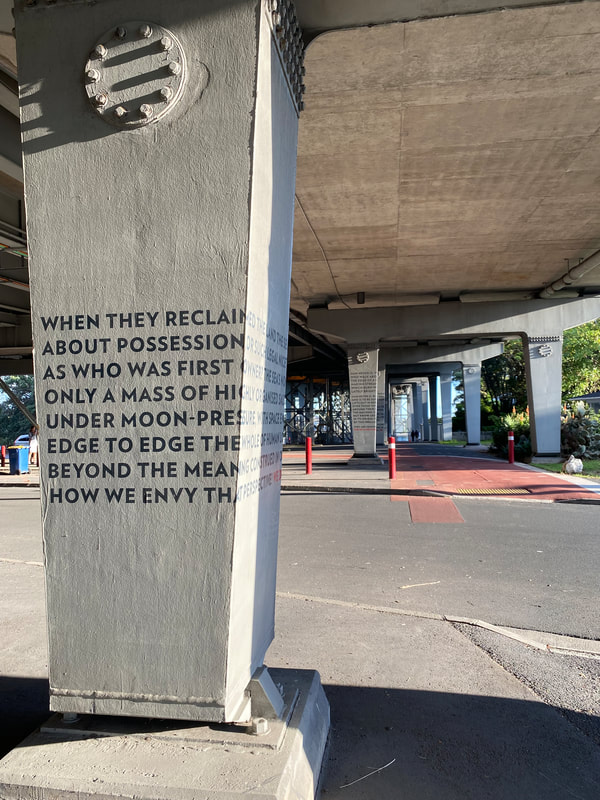
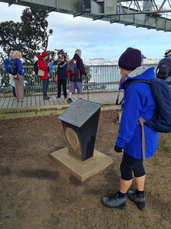
We then emerged onto Princes Street, right next to the Harbour Bridge sign and the start of several literary inscriptions on the pillars supporting the bridge.
https://www.nzherald.co.nz/nz/poetry-and-musings-under-the-bridge-downtown/S2DHNSRI4DRMXOLHSBVPPO55YQ/
https://www.nzherald.co.nz/nz/poetry-and-musings-under-the-bridge-downtown/S2DHNSRI4DRMXOLHSBVPPO55YQ/
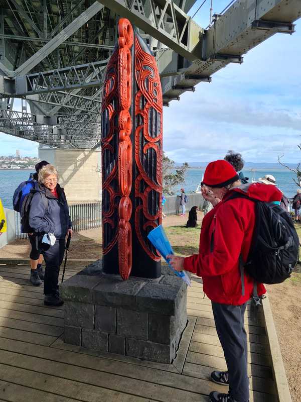
Keeping to the left, we followed a boardwalk down to a majestic pou, on the site of Te Onewa Pa, and Stokes Point Reserve where there is a memorial to the three workers who died during the construction of the Harbour Bridge.
Next stop, the old Fisherman’s Wharf, reputedly Auckland’s first marine restaurant, built in 1970. Unfortunately, it closed in 1973, subsequently having a variety of owners. It is currently a conference and events centre. This location offers incredible views of the city centre framed by the Harbour Bridge and it is also the Northcote Point Ferry Terminal.
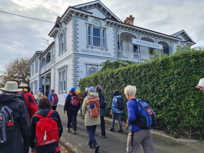
Wandering up the hill, we rejoined Princes Street. This provided us with the opportunity to admire all the old heritage buildings – mainly residences, with some having started life as a former bakery, an old butcher’s shop, etc., and of course the well-known Northcote Tavern
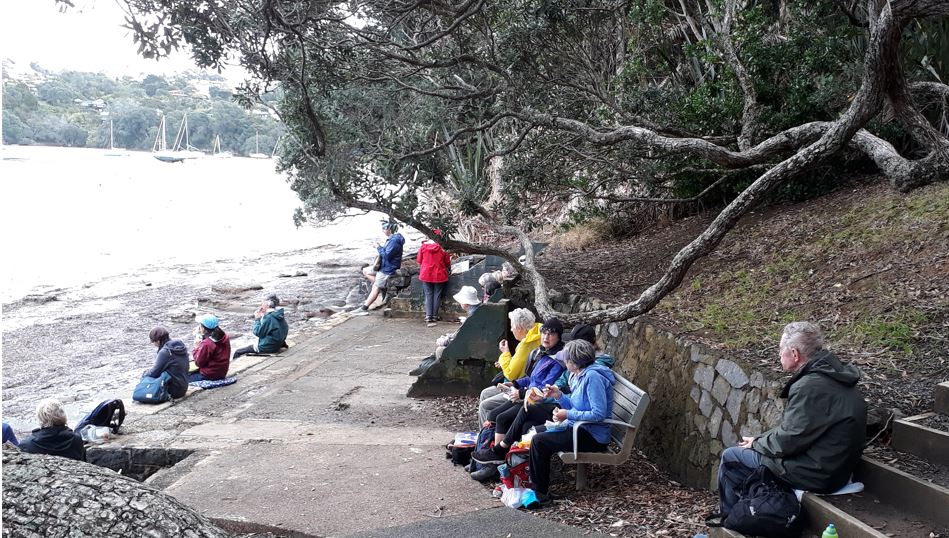
We made our way down a steep path to Hall’s Beach for our late lunch stop. Named after well-known Auckland cabinetmakers who acquired several acres next to the beach in 1870. The property was bought in about 1900 by the Fraser family who later built a picture drome right next door. It had several names, but after the Harbour Bridge was built, it became The Bridgeway.
A special thank you to Fiona.
It was obvious Fiona had done extensive research for today and at every stop we benefited from what she had learned, especially - the history of Le Roy’s Bush and the plants to look out for; the history and construction of the bridge; the stories of many of the old villas on Northcote Point, the Northcote Tavern; and finally, Hall’s Beach and
The Bridgeway.
Text: Linda
Photos: Sharleen, Richard and Jan
15 May 2022 - Orakei Basin & Hobson Bay
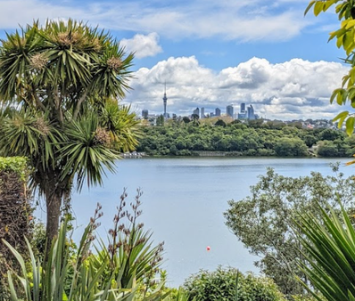
A group of 38 keen walkers met at the Orakei train station carpark at 9.15am.
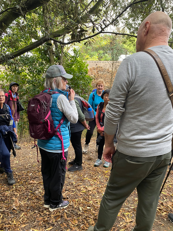
It was exciting to see so many turn up and parking was easy. Once all arrivals had been checked off we gathered around for an informative talk on the Orakei Basin.
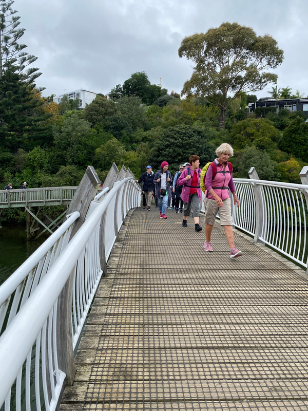
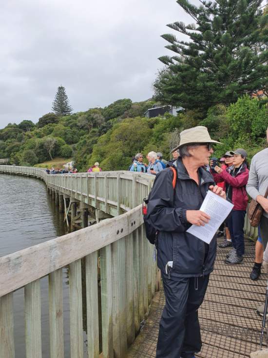
Our first walk of the day took us around the edge of the basin - a picturesque lagoon located in a volcanic crater that impacted the natural formation of the waterfront. Using the boardwalk and bridge we crossed the Purewa arm of the basin stopping at the sluice gates. The water in the basin is frequently changed through the sluice gates to manage water quality. Our timing was perfect with the basin full and looking quite spectacular.
From various vantage points we enjoyed stunning views of the Waitemata harbour, the Auckland and Mt Eden skylines. Once we left behind the many steps up and down we settled to a flat walk on well formed pathways passing many walkers out with their family pets as this walk offers a large off-leash area for dogs
We paused for a drink and clothing adjustment stop at the sculpture 'Strata' (Peter Nicholls, 1988), gifted by the family of John Gellert. The birdlife and the wetlands provide points of interest along the walk as do the palatial homes that surround the Basin.
We paused for a drink and clothing adjustment stop at the sculpture 'Strata' (Peter Nicholls, 1988), gifted by the family of John Gellert. The birdlife and the wetlands provide points of interest along the walk as do the palatial homes that surround the Basin.
The name Orakei means ‘Place of Adornment’ and it is easy to see why. Orakei Basin is known for watersports - there's good access for kayaking and stand up paddle boarding from the boat ramp on the western side of the basin. We were offered an entertaining few moments by a group of young adults out with an amateur skier.
On completion of our basin circuit our morning tea and toilet stop was at the Orakei Bay Village. Many of us enjoyed a coffee from one of the great local cafes and an opportunity for a catch up chat with fellow walkers including a number of new members.
On completion of our basin circuit our morning tea and toilet stop was at the Orakei Bay Village. Many of us enjoyed a coffee from one of the great local cafes and an opportunity for a catch up chat with fellow walkers including a number of new members.
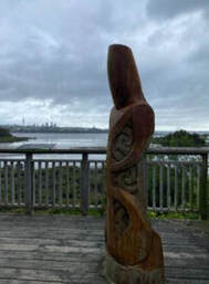 Carved Pou -
Guardian of the site.
Leaving the village we started out on the Hobson Bay East walkway - our second walk for the day.
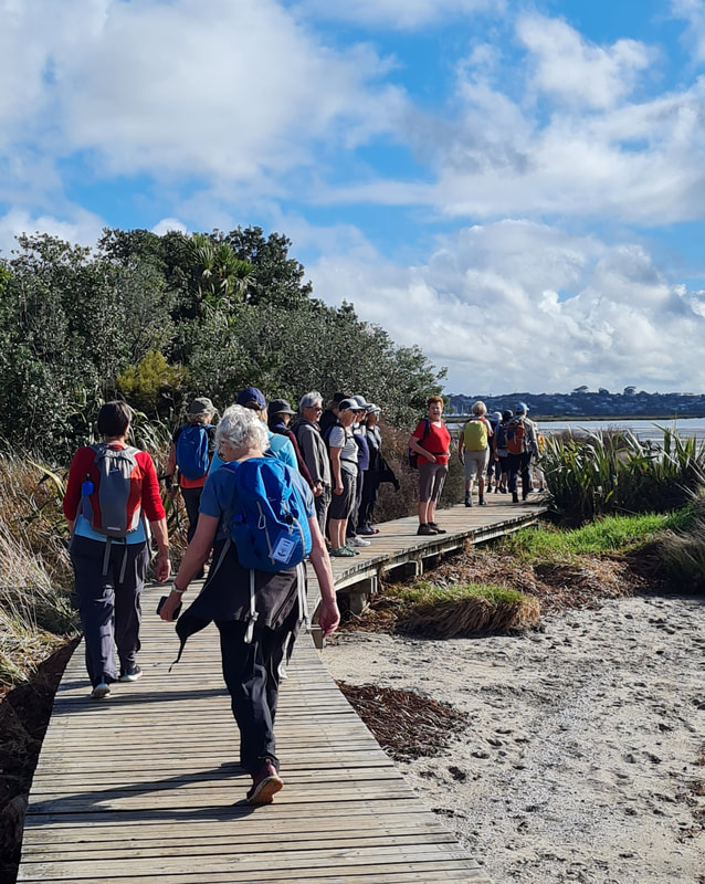
Having viewed the Māori carving and further along the footpath artwork by local school children including mosaic covered poles, paintings and iron animal sculptures we turned right onto the boardwalk and commenced the popular coastal walking route along Hobson Bay winding through the mangroves passing under large overhanging pōhutukawa trees and finishing this walk at Wilson's Beach, named after Joseph Liston Wilson, who helped to found the New Zealand Herald.
This small beach was re-sanded in 2014 and is now a pleasant spot to picnic, swim or kayak.
|
We trudged up the rather steep exit from Wilson’s Beach and up Victoria Ave turning right onto Shore Road. A short walk down Shore Road brought us to a path on our right leading into the Shore Road Reserve. Walking along the water's edge behind Thomas Bloodworth Park we found ourselves a lovely lunch spot with great views looking out over Hobson Bay. After lunch we circled around this popular and beautiful sports park and commenced our return walk. |
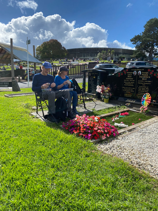
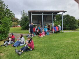 Lunch Stop
On our return walk (to distract us from the uphill climb) we turned into Burwood Crescent and as we walked the crescent viewed beautifully groomed gardens and lovely old homes. Back on Shore Road we soon turned left into Victoria Avenue and downhill to the Hobson Bay East walkway. Our return walk took in different views of our beautiful city and its surrounds. Before not too long we were back at the Orakei train station carpark.
A very enjoyable day!
1 May 2022 - Te Atatu Peninsula & Waikumete Cemetery
Twenty- six walkers gathered at the Orangahina car park eager to find out more about the history of this part of Auckland and to walk the very popular Te Atatu walkway, well- known to locals, but few others. We learnt about how important water transport had been to the area before roads were made and about the livelihoods of local people before the days of motor transport.
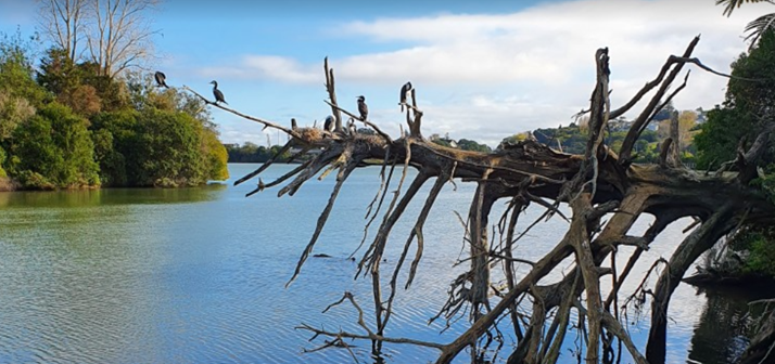
The walk itself rewarded us with superb views over the western part of the Waitemata Harbour, over to the Harbour Bridge, Rangitoto and the city. The “brick house” here is a historic relic. We passed the many water filtration ponds, close to which we saw a number of pukeko and even a shag drying itself with its wings spread out, perhaps after a dive to find food and eating a good meal. Unfortunately the ngaio bushes are not in flower at this time of year, but there is a profusion of them along this walkway.
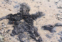
A highlight was the petrified forest, where we lingered for a short time to look at different stages of petrification, before turning back. We had a short stop at the reserve at the bottom of Harbourview Road for morning tea, then returned to our cars for the short drive to Waikumete Cemetery.
Here we did a bush walk along the northern boundary of the cemetery to start with. With a long flight of steps towards the end of it, we were quite ready for some lunch. Some seating was available when we reached the top: this was most welcome!
|
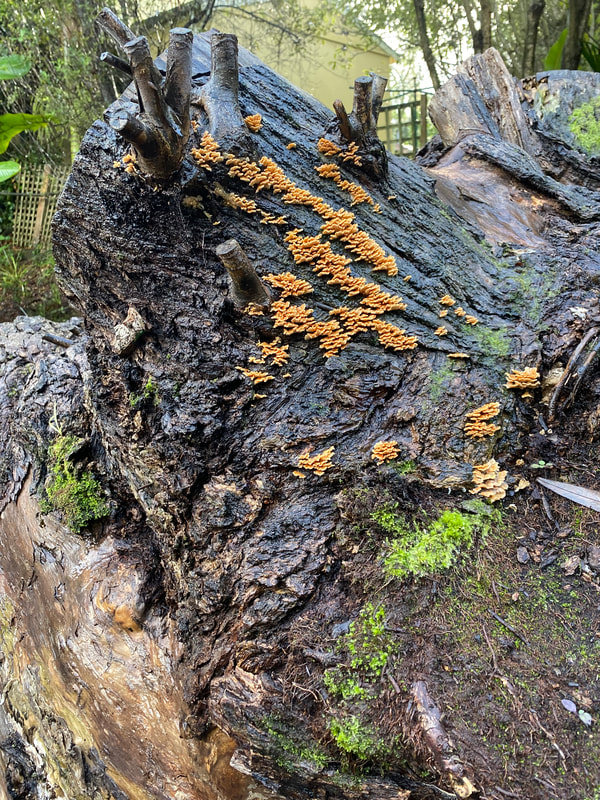
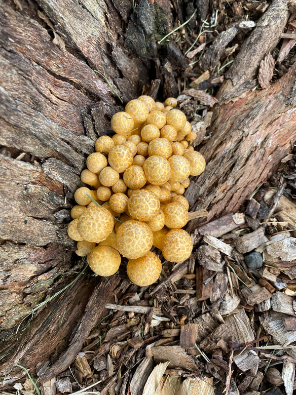
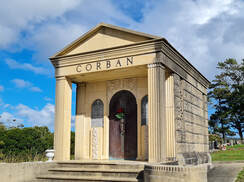
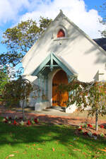
We then headed down “Dally Alley,” the nickname given to Magnolia Way, where impressive mausoleums mark the resting place of many Dalmatian people, some well- known wine makers. Earthball fungi (scleroderma) were spotted. Further down the hill we saw the best- known name, Corban. Assid Corban’s legacy lives on in “The Corban Estate” in Henderson, where there are many community activities most days of the week, a little art gallery and a cute little chapel often used for weddings and wedding photographs. |
Before reaching the back gate, we passed a sad monument to the victims of the influenza epidemic of 1918. In earlier times, there were “funeral trains;” they had box cars with a cross on the outside and unloaded the coffins at “Waikumete Station” which was later moved to the other side of Glenview Road and renamed Glen Eden station.
The Sexton’s House and the Chapel of Faith (built in 1886) sitting among some very mature oak trees was next.
Walking parallel to Glenview Road, we encountered a vast area of servicemen’s graves, marked by plaques on one side of the pathway. On the other side was another vast area, this time marked with crosses, each with a poppy to commemorate ANZAC Day, the previous weekend.
We stopped at the corner cenotaph, then walked up to the main crematorium building, and through a small garden, to the Erebus Memorial. Going up the hill from here we saw the sad little children’s area, then the Jewish prayer house and Holocaust Memorial and finally returned to our cars.
Thanks to Praemi and John, our leaders today, for two enjoyable well-researched walks. Thanks also to Margaret for her help.
Text: Praemi. Photos: Linda, Robyn, Sharleen
