Trip Reports: March - April 2024
21 April 2024 - Greenhithe to Hobsonville Point
After Saturday’s torrential rain, it was a relief to have a fine – albeit grey – day for our walk on Sunday 21st April.
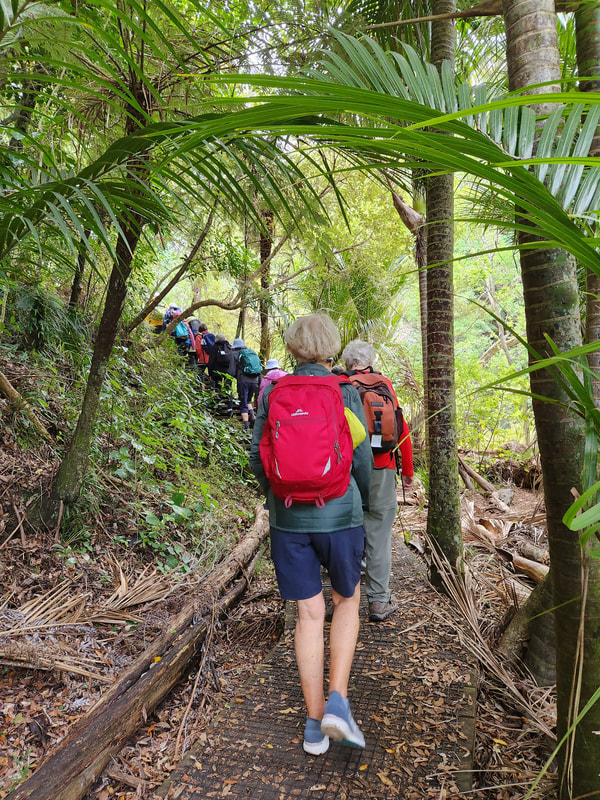
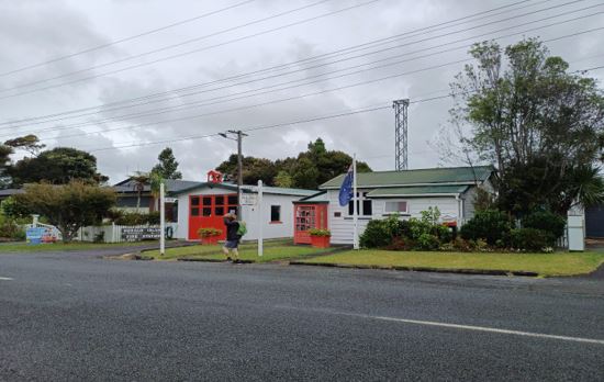
27 walkers arrived at Wainoni Park in Greenhithe soon after 9am to walk through some of this suburb’s leafy streets, full of gracious homes amidst well-cared for gardens.
27 walkers arrived at Wainoni Park in Greenhithe soon after 9am to walk through some of this suburb’s leafy streets, full of gracious homes amidst well-cared for gardens.
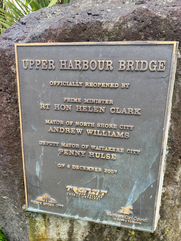
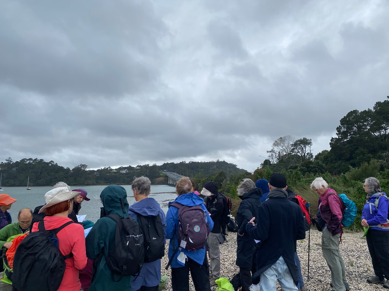
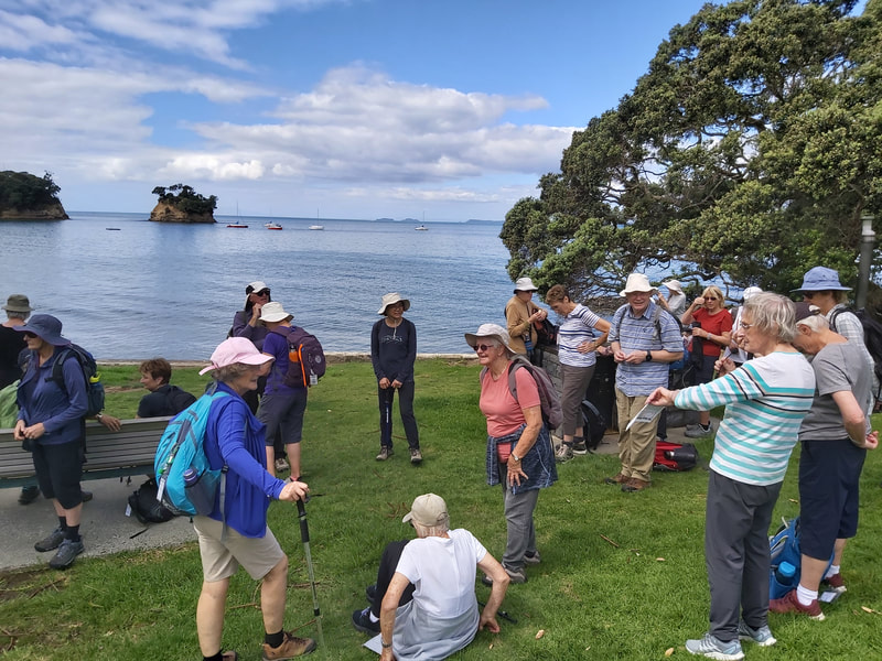
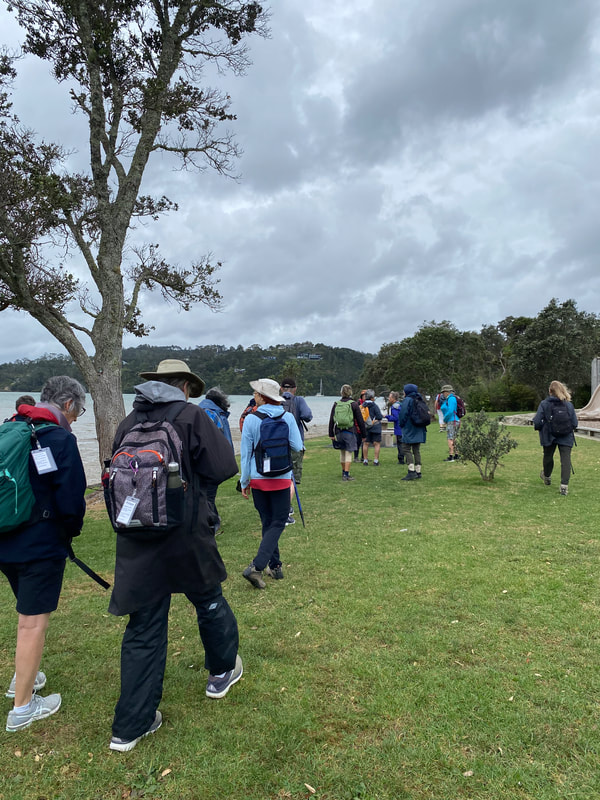
We then walked down the Upper Harbour Bridge, a place where most of us have only driven before, to our morning tea stop at a small park beside the water. From this vantage point we had a good view of the Bridge, the entrance to Lucas Creek which runs up to Albany, Herald Island where our Club walked recently, the Whenuapai Airfield, and Summerset on Monterey Retirement Village. We heard how a tornado ripped through this area in 2012, resulting in 3 deaths – 1 in Albany and 2 in Hobsonville Point.
After morning tea we crossed the motorway on an overbridge and set off down Squadron Drive into Hobsonville Point. At the end of the road we paused beside Te Kori Scott Park to learn a bit about this important community asset with it’s state-of-the-art playing fields and drainage system, which has become a flagship project for others to learn from.
We continued on through a number of Hobsonville Point streets, admiring the mixed housing in this area, which was a planned community after the Air Force moved away and the land passed into the hands of Housing NZ in 2002, for residential development.
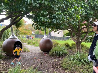
Autumn is upon us and it was a delight to see so many of the area’s trees changing colour and dropping a carpet of leaves for us to scuffle through. We made our way through a park and attractive children’s playground, then through an avenue of impressive old trees to Catalina Café for our lunch break. Some ate under the trees and some ate in the café.
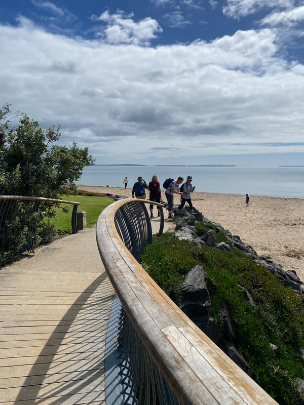
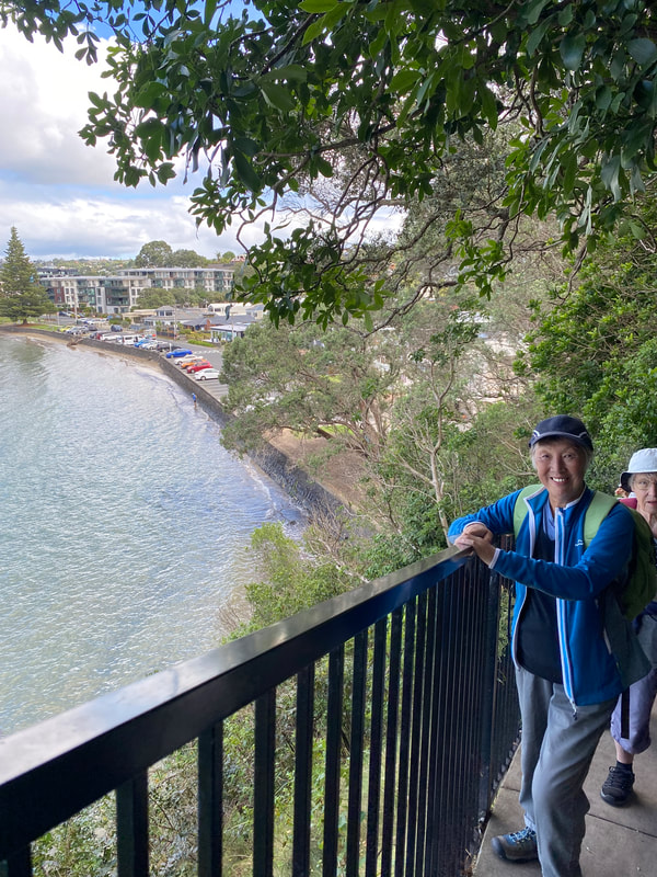
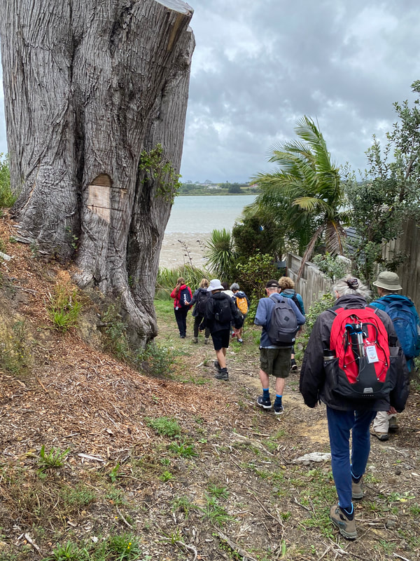
Moving on after lunch we joined the interesting and popular Coastal Pathway, winding our way over two curved bridges, the East Sunderland and West Sunderland Bridges, and along the path with lovely homes on one side and bush and sea views on the other.
Moving on after lunch we joined the interesting and popular Coastal Pathway, winding our way over two curved bridges, the East Sunderland and West Sunderland Bridges, and along the path with lovely homes on one side and bush and sea views on the other.
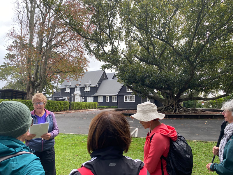
We stopped for a break at the impressive two storied Georgian building called Mill House and learned a bit of it’s history and that of the cute cottage next door, called Frances Chichester Cottage, after a famous guest. This cottage is now a community facility.
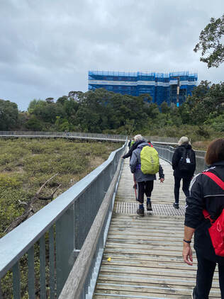
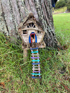
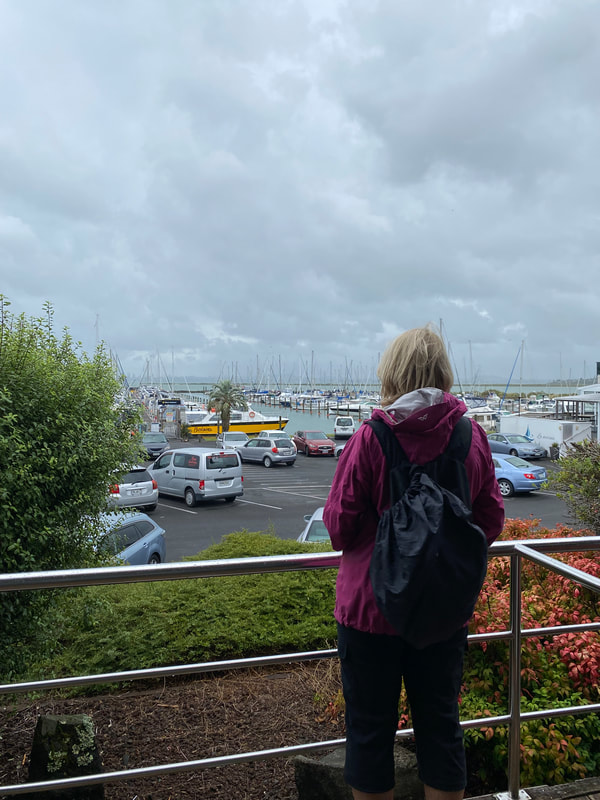
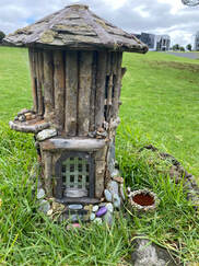
Then we proceeded along the Bay, past a very large apartment complex under construction and the new Marine Centre, before heading out over some grassy fields to see some cute, artistic Fairy Houses attached to the trunks of several trees, then the old Rifle Range of the Air Force, now a centre for community performances, and finally the gardens of the Kaipatiki Project and site of the Air Force’s Engine Testing Bay.
A short walk from there took us up one of the main streets to the colourful Primary School, which is now bursting at the seams due to the phenomenal growth of this area. Our walk finished about 2:30pm when we met our bus, and driver Peter, by the school.
Special thanks to today's three leaders: Sandra, Barbara, Wendy.
Text: Sandra Photos: Linda
7 April 2024 - Goat Island Marine Discovery Centre, Matheson Bay and Leigh Coastal Walkway
In lieu of our historic weekends away, we decided on “Big Days Out” and today was our 2nd Big Day Out!
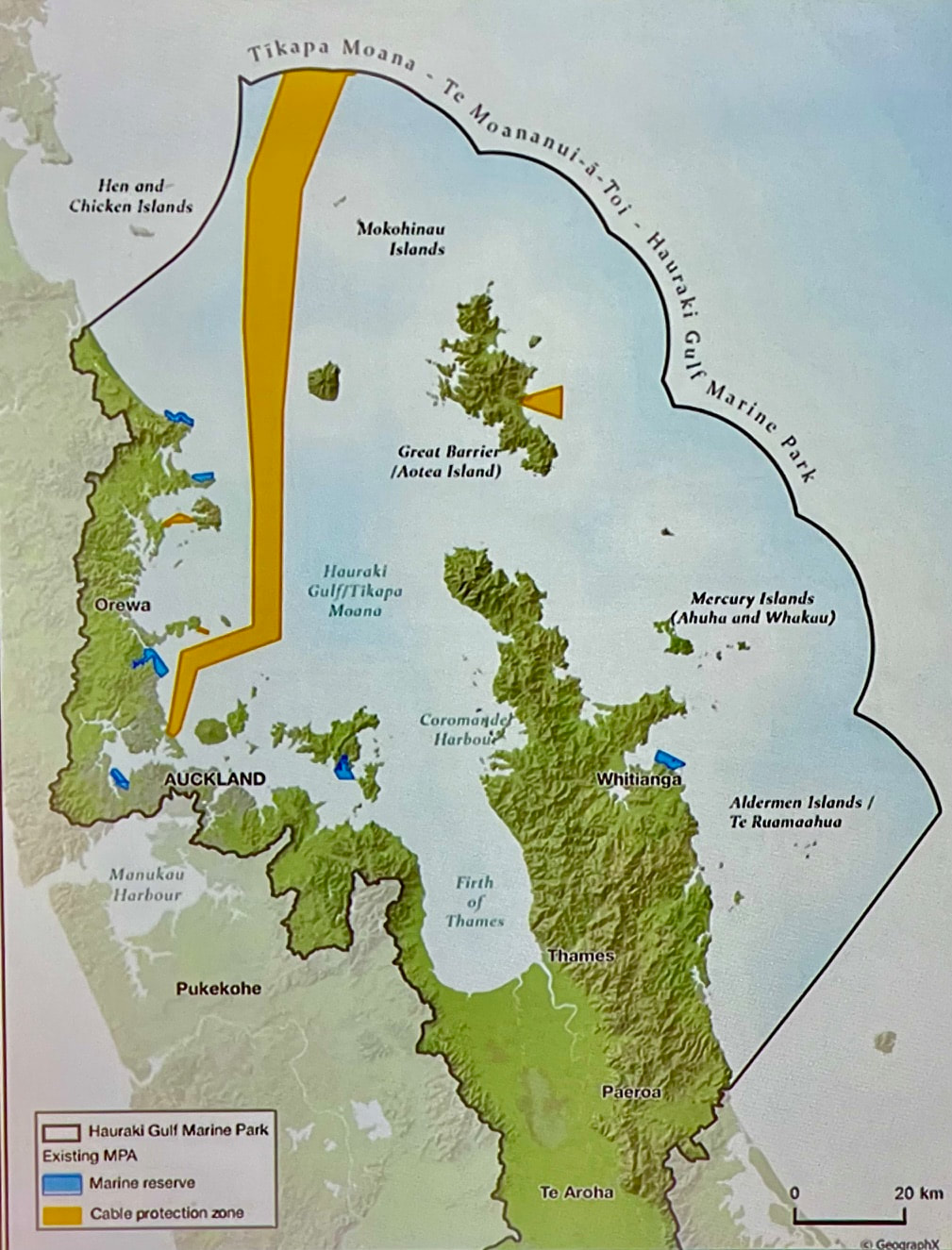
39 of us boarded the bus for the Goat Island Marine Discovery Centre at the Cape-Rodney Okakari Point Marine Reserve.
39 of us boarded the bus for the Goat Island Marine Discovery Centre at the Cape-Rodney Okakari Point Marine Reserve.
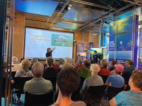
We were booked for their 1.5 hour programme and what a treat it was.
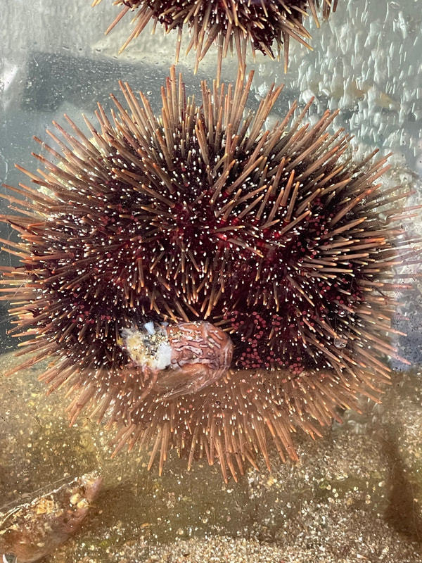
Tim (Manager) kept us all fully engaged. He began by explaining how the overfishing of snapper and crayfish has led to the kina becoming out of control – munching their way through kelp and seaweed, leaving bare rock and little else.
|
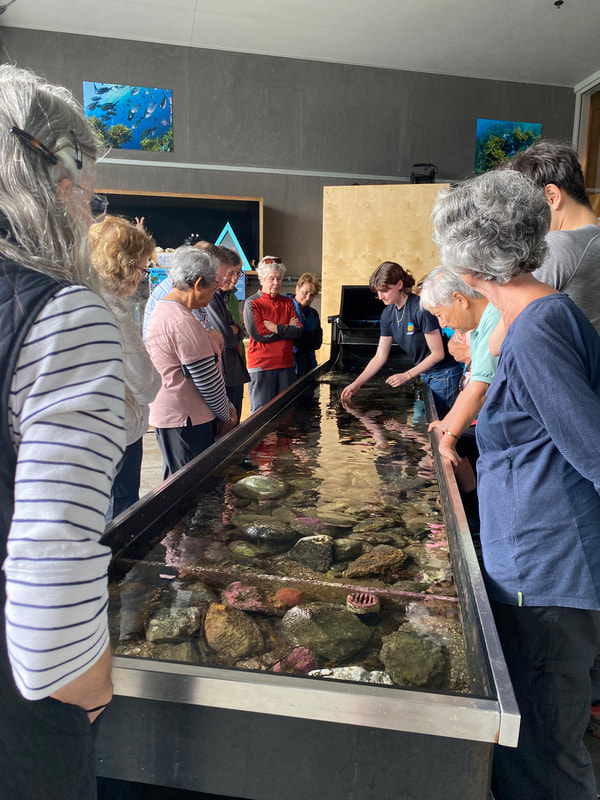
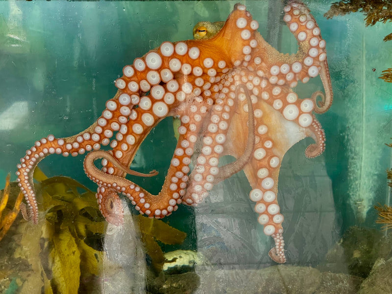
Tim told us how this was New Zealand’s first marine reserve. It was established in 1975 and protects 547 hectares of shore and sea. Auckland University’s marine laboratory was actually established earlier, in 1964, but they soon discovered that people were eating the experiments, affecting research. Tim explained the benefits of a reserve and how significant efforts are currently being made to increase the number of marine reserves in New Zealand and to extend the range of existing reserves. Our group then split into two, with half initially going to the touch tank and the other half remaining with Tim to view kina, etc. under the microscope. This visit was so popular, we ran considerably over time and several members were adamant they would be returning another day. |
From the beach at Matheson Bay, where we had stopped for lunch, we crossed a small bridge and a flat grassed area to the start of the beautiful bush walk leading up the western side of the Kohuroa stream.
|
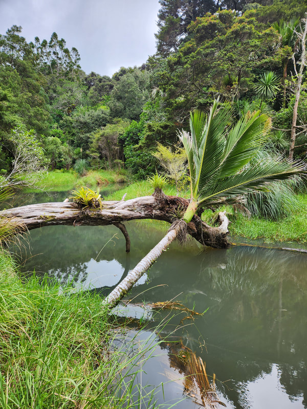
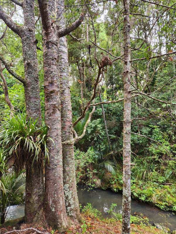
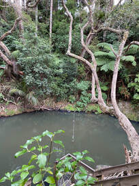
We followed the boardwalks and steps alongside the stream, up through native bush that included many mature kauri trees. Many of the other natives provided identification signs. We passed a series of cascades and small waterfalls as well as a large swimming hole with a rope tied to wha tree to swing out from. Alas, nobody was brave enough to take advantage of the opportunity! |
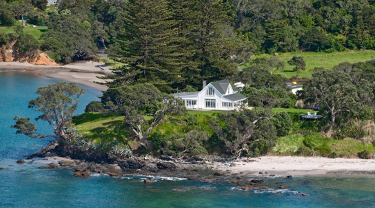
Returning back the same way, we then headed to the bus. On our way we passed 16 Grand View Road, the location of the original homestead, built in 1857, for the family of Duncan Matheson. We could only see the roof of the now extended home, but very apparent were the four Norfolk pines towering above the house. They are landmarks on local shipping charts and they are protected by the Historic Places Trust. It is thought that Duncan brought the trees back from Norfolk Island on one of his trading trips.
At this point, given we were way behind schedule, we took a vote and the decision was made to skip the Leigh Coastal Walkway and to go directly to the historic Leigh Cemetery.
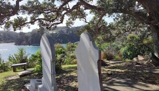
On arrival, Karin provided an overview of Leigh’s early history, including the significant roles that the Matheson and Wyatt families played in the area.
Members were then invited to see how many of the 28 Matheson and 15 Wyatt headstones they could find in this small cemetery with amazing water views on three sides.
We don’t usual end our walk days socialising, but given this was “a big day”, we scheduled an hour’s stop at the historic Bridge House Lodge at Warkworth.
A great way to end this varied and interesting day.
Thanks to Today's Leaders: Karin and Linda
Text: Linda
Photos: Robyn, Barbara and Linda
A great way to end this varied and interesting day.
Thanks to Today's Leaders: Karin and Linda
Text: Linda
Photos: Robyn, Barbara and Linda
17 March 2024 - North Shore's East Coast Bays
As invited on the club flyer, 36 walkers decided to “come and walk The Shore and not stay home and snore.”
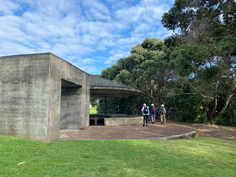
Cute little Castor Bay, in the morning’s shimmering silver light was the starting point of our walk. Sandra gave us some history of the bay, pointed out the concrete rifle post remaining from WW11 and the gnarled old pohutukawa trees which are ubiquitous along this coast.
Cute little Castor Bay, in the morning’s shimmering silver light was the starting point of our walk. Sandra gave us some history of the bay, pointed out the concrete rifle post remaining from WW11 and the gnarled old pohutukawa trees which are ubiquitous along this coast.
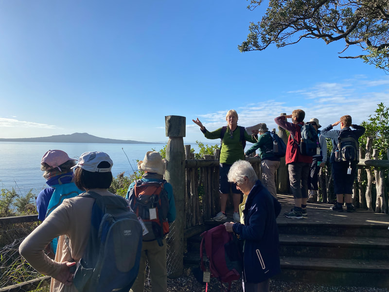
The steep climb to Rahopara Pa from the northern end of the bay, gave walkers a good opportunity to stretch their legs after the bus ride. The panoramic view from the top making the climb worthwhile. It was easy to see why Maori took advantage of the position and used it as a defensive stronghold. Sandra was able to give us some interesting facts about the Pa.
A short walk took us to Kennedy Park to view the WW11 gun emplacements and read the information panels which explained a part of Auckland’s defense strategy during war time. Here too Sandra added some more interesting information for us
After exiting Kennedy Park, we crossed Beach Road and then via Aberdeen Road and Rae Road, we entered Centennial Park.
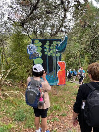
A pleasant walk led us to the Tui Track for the start of the Nature Trail where we broke into small groups and clutching a park booklet could follow the trail and identify the trees along the way from the number system provided in the booklet.
Once we left there, we headed down the hill to Campbells Bay walking along Sandford Street and Park Rise to get there.
Just before the entrance to the beach, our walkers could learn from the information panels about the wonderful work done by Sylvia Durrant, who saved so many birds especially penguins. The bronze penguin nestled in the rocks being in memory of her.
At the end of Campbells Bay, we started on the pipeline walk. This popular walkway connects Campbells Bay, Mairangi Bay and Murrays Bay.
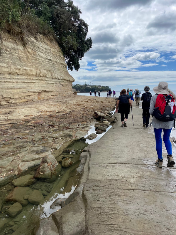
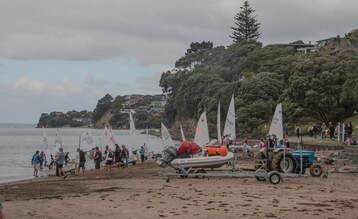
Walkers had to be alert for the occasional wave breaking over the path and themselves while they gazed up at the eroding cliffs s nearby. Before moving on we sat on the grass at Murrays Bay and enjoyed our lunch while observing the small fleets of optimist yachts fluttering like butterflies out in the bay and a few keen swimmers.
The Gumdiggers Track at the end of Murrays Bay took us north again and led us up the hill to wonderful views of the Hauraki Gulf from the cliff top. This part of the walk is part of the Te Araroa Walkway. In order to reach Rothesay Bay, the next bay up the coast it was necessary at the end of the Gumdiggers Track to walk on the footpath on the side of the roads down to Rothesay Beach. Here Fiona read out information on sea transport which was so important in the early days.
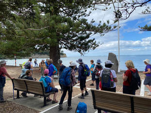
Having had a short rest, it was on and up again to another clifftop walk with impressive views. This time we ended at the top of a steep flight of steps. After descending carefully, we then found ourselves in busy Browns Bay where St Patrick’s Day was being celebrated loudly. A long grassy stretch alongside the beach provided a good stopping place for a club member to pass on some of the history of the bay and point out the Norfolk pines and the Stone of Remembrance.
Only one more climb to reach Torbay. The short but steep track gave walkers who wanted a break, time to stop and admire not only the sea view but the beach below with all the activity of the beach goers and picnickers.
Picturesque Torbay, with its little rocky tor was the end of our 12k walk. We learned some history of this bay too and had time to pop into the café over the road before the bus picked us up for the homeward trip.
Picturesque Torbay, with its little rocky tor was the end of our 12k walk. We learned some history of this bay too and had time to pop into the café over the road before the bus picked us up for the homeward trip.
A huge "thank you" to Sandra, Fiona and Josephine for this lovely day along the coast!
Text: Fiona Photos: Barbara, Sue, Linda.
Text: Fiona Photos: Barbara, Sue, Linda.
3 March 2024 - Herald Island and West Harbour
With rain forecast we set off for Herald Island. Herald Island is a small close knit community of just 275 households. It was a popular picnic spot and was not joined to the mainland by causeway until 1958. Electricity arrived in 1955.
We enjoyed a walk around the island before heading off to West Harbour Marina.
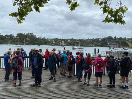
West Harbour is a fertile area that was occupied by Maori for many years before European settlement. Many middens have been found here, some with moa gizzards and skeletons.
There were farms, market gardens and orchards inhabiting the area until the West Harbour subdivision started in the 1980s, shortly before the marina was developed.
The subdivision includes an attractive coastal walk with redeveloping bush including rata, tawa and kauri. Under threatening skies we headed off to Luckens Reserve, named after the Luckens family, a long established local family who donated the land for the park and the local marae. Jack Luckens was a colourful character who contributed a lot to the community and shared his house with a small pony.
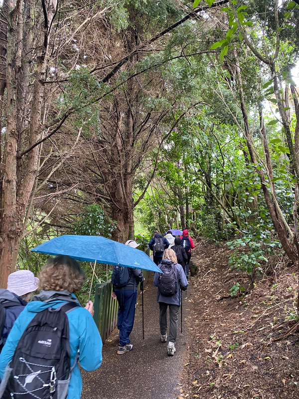
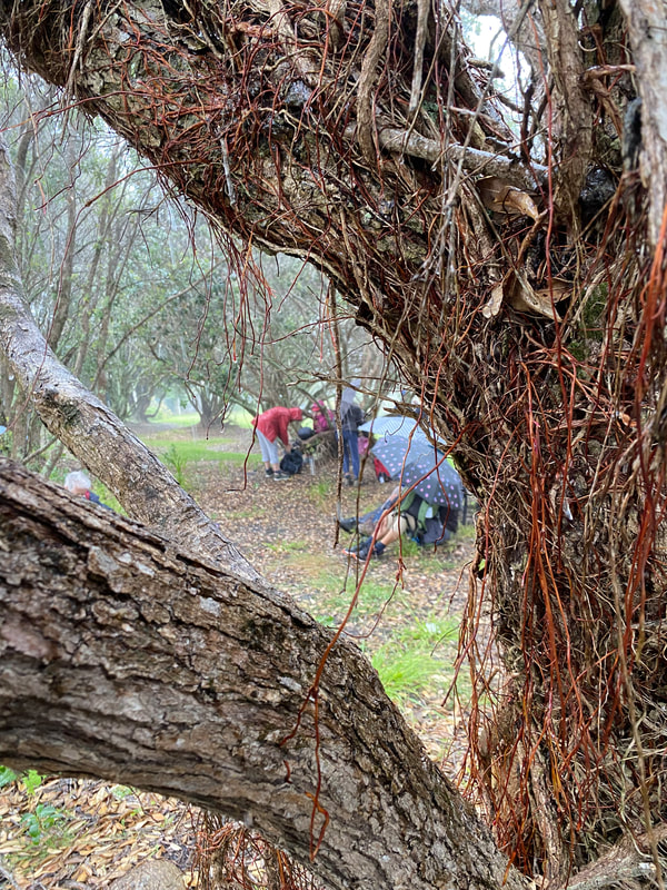
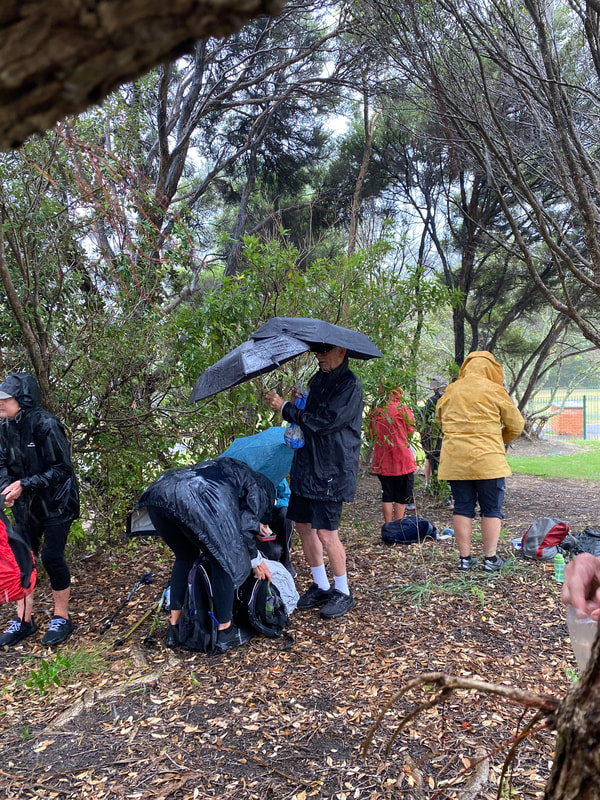
We had lunch at the reserve and had planned to carry on to Moire Park along the coast finishing with the Manutewhau bush walk. But the rain arrived with lunch! Torrential rain soaked us all and the group retreated to the bus where the decision was made to abandon the walk.
A very soggy ending to a lovely day!!
Given the adverse conditions, very special thanks to our leaders: Marilyn and Liz
Text: Liz Photos: Liz and Linda
Given the adverse conditions, very special thanks to our leaders: Marilyn and Liz
Text: Liz Photos: Liz and Linda

